Plattberg
Map

Map

Facts and practical information
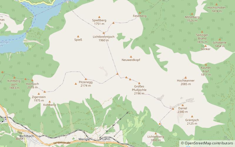
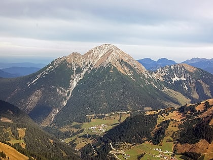
The Plattberg is a mountain in the southern chain of the Ammergau Alps. Its highest point is also called the Hochschrutte and reaches a height of 2,247 m The Plattberg lies north of Lähn and can be climbed from Lähn or, on a more strenuous and trackless route from the lake of Plansee via the Wiesjoch col. The ascent of the mountain can be done as part of a ridge walk from or to the Daniel. The nearby peak of Großes fuitjöchl is also a popular climb in winter for skiers or snowshoers. ()
Location
Tyrol
ContactAdd
Social media
Add
Day trips
Plattberg – popular in the area (distance from the attraction)
Nearby attractions include: Plansee, Seebensee, Alpentherme, Daniel Mountain.


