Tauernkogel
Map

Map

Facts and practical information
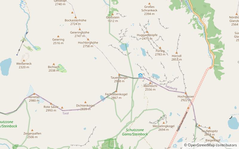
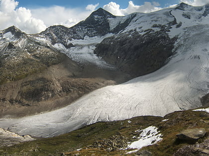
The Tauernkogel is a mountain, 2,988 m, in the Venediger Group of Austria's High Tauern. It lies west of the Felber Tauern and the border between the states of Salzburg and Tyrol runs over the summit. It may be climbed on a difficult mountain tour via a steep snowfield in about 1.½ hours from the St. Pöltner Hut. ()
Location
Salzburg
ContactAdd
Social media
Add
Day trips
Tauernkogel – popular in the area (distance from the attraction)
Nearby attractions include: Schlatenkees, Granatspitze, High Tauern, Larmkogel.


