Döbling, Vienna
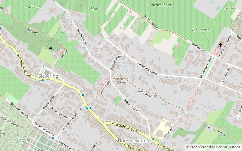
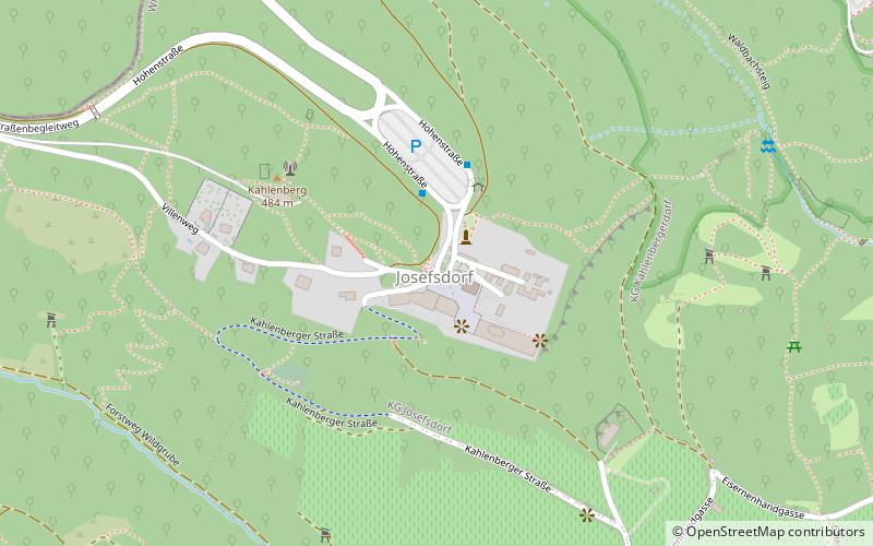
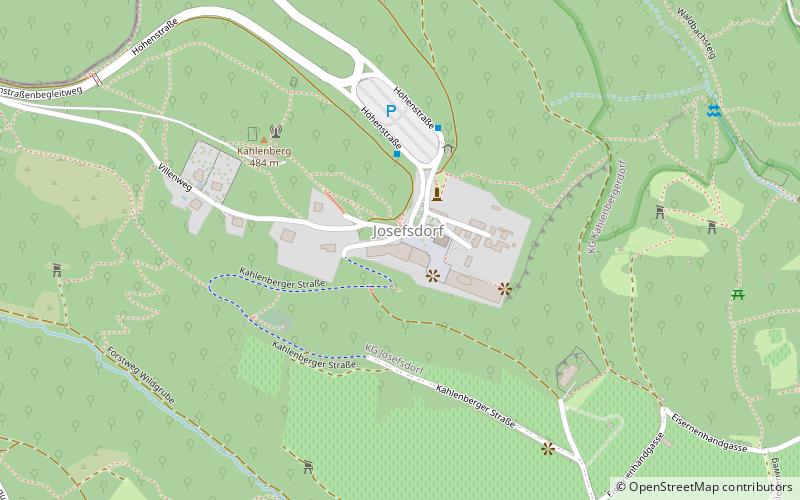
Map
Gallery
Facts and practical information
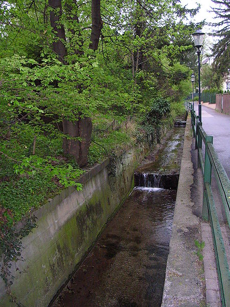
Döbling is the 19th District in the city of Vienna, Austria. It is located on the north end from the central districts, north of the districts Alsergrund and Währing. Döbling has some heavily populated urban areas with many residential buildings, and borders the Vienna Woods. It hosts some of the most expensive residential areas such as Grinzing, Sievering, Neustift am Walde and Kaasgraben and is also the site of many Heurigen restaurants. There are also some large Gemeindebauten, including Vienna's most famous, the Karl-Marx-Hof. ()
Day trips
Döbling – popular in the area (distance from the attraction)
Nearby attractions include: Leopoldsberg, Kahlenberg, Sisi Chapel, Kaasgrabenkirche.
Frequently Asked Questions (FAQ)
Which popular attractions are close to Döbling?
Nearby attractions include Schenkenberg, Vienna (16 min walk), Sisi Chapel, Vienna (19 min walk), Modul University Vienna, Klosterneuburg (22 min walk), Kahlenberg, Vienna (22 min walk).
How to get to Döbling by public transport?
The nearest stations to Döbling:
Bus
Tram
Bus
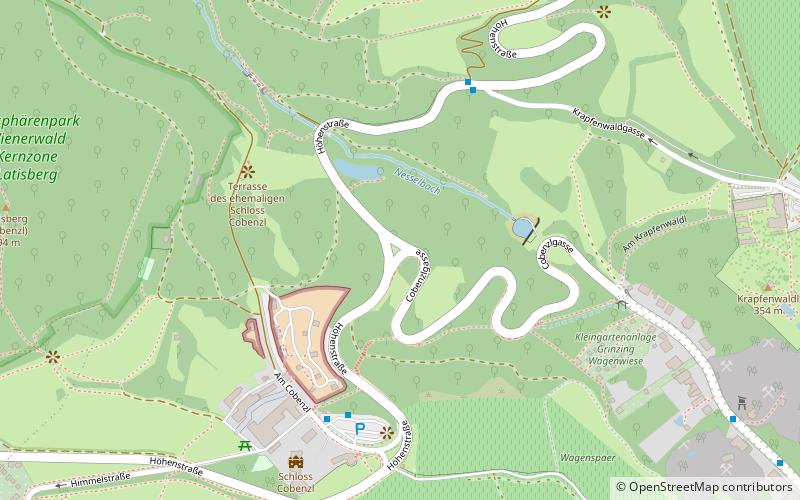
- Cobenzl Parkplatz • Lines: 38A, 43A (5 min walk)
- Krapfenwaldgasse • Lines: 38A (5 min walk)
Tram
- Grinzing • Lines: 38 (30 min walk)
- An den langen Lüssen • Lines: 38 (33 min walk)


