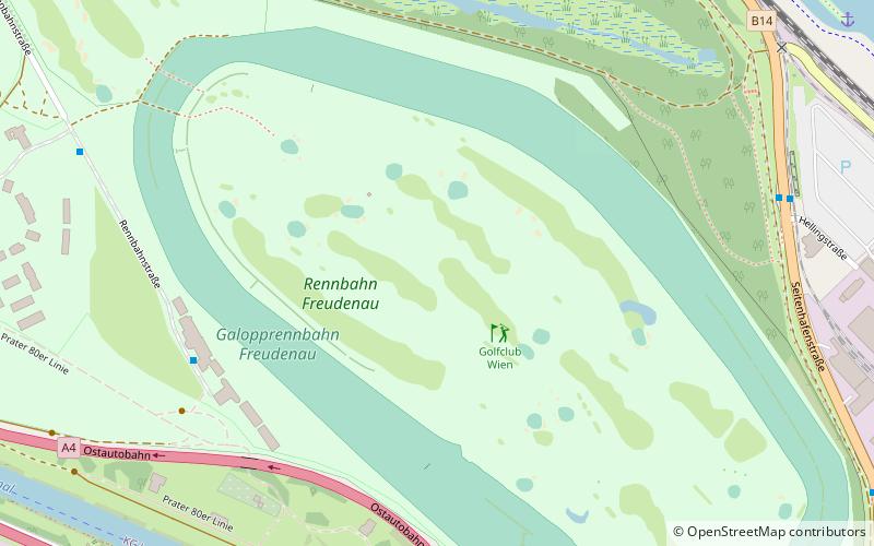
Golfclub Wien, Vienna
Map
Facts and practical information
Golfclub Wien (address: 65a Freudenau) is a place located in Vienna (Vienna state) and belongs to the category of golf.
It is situated at an altitude of 512 feet, and its geographical coordinates are 48°11'11"N latitude and 16°26'57"E longitude.
Planning a visit to this place, one can easily and conveniently get there by public transportation. Golfclub Wien is a short distance from the following public transport stations: Hellingstraße (bus, 9 min walk), Wien Praterkai (train, 26 min walk).
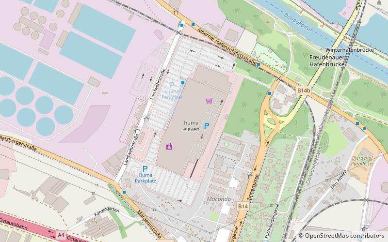
Among other places and attractions worth visiting in the area are: Vienna Watersports Arena (sport venue, 18 min walk), Simmering (neighbourhood, 30 min walk), huma eleven (shopping, 42 min walk).
Coordinates: 48°11'11"N, 16°26'57"E
Getting there by public transportation
Public transportation stops near this location
- Bus
- Train
 Bus
Bus
- Calculate routeHellingstraße 9 min walk
- Calculate routeGrünhaufenbrücke 11 min walk
- Calculate routeSeitenhafenstraße 12 min walk
- Calculate routeLusthaus 14 min walk
- Calculate routeWien Praterkai 26 min walk
- Calculate routeWien Haidestraße 31 min walk
Day trips


Frequently Asked Questions (FAQ)
How to get to Golfclub Wien by public transport?
The nearest stations to Golfclub Wien:
Bus
Train
Bus
- Hellingstraße • Lines: 79B (9 min walk)
- Grünhaufenbrücke • Lines: 79A, 79B (11 min walk)
Train
- Wien Praterkai (26 min walk)
- Wien Haidestraße (31 min walk)