Tower I, Linz
Map

Map

Facts and practical information
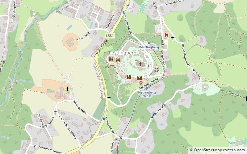
The Tower Fortification of Linz or Maximilian Tower Line or Maximilian Towers was a fortification built in the early 19th century. It consisted of a belt of fortification towers around the city of Linz and is also known as Donaufestung Linz, Verschanztes Lager von Linz or Maximilianische Befestigungsanlage.
Coordinates: 48°19'24"N, 14°15'26"E
Address
15 Am PöstlingbergPöstlingbergLinz
ContactAdd
Social media
Add
Day trips
Tower I – popular in the area (distance from the attraction)
Nearby attractions include: Ars Electronica Center, Old Cathedral, Lentos Art Museum, Brucknerhaus.
Frequently Asked Questions (FAQ)
How to get to Tower I by public transport?
The nearest stations to Tower I:
Tram
Train
Bus
Tram
- Pöstlingberg Schlössl • Lines: 50 (3 min walk)
- Oberschableder • Lines: 50 (7 min walk)
Train
- Pöstlingberg (4 min walk)
- Puchenau (30 min walk)
Bus
- Linz Pöstlingberg Friedhof • Lines: 250, 251 (4 min walk)
- Riesenhof • Lines: 33 (21 min walk)


