Steinhof, Vienna
Map
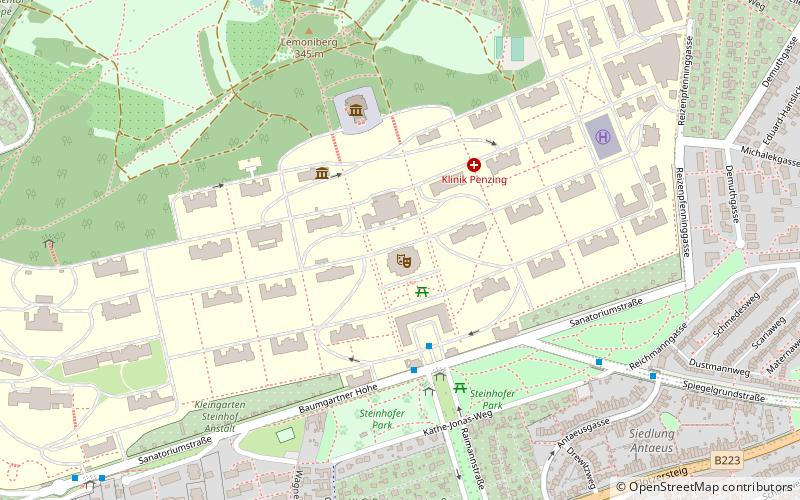
Map

Facts and practical information
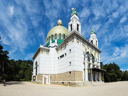
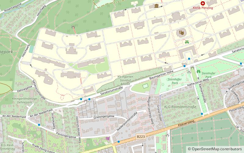
Steinhof in Vienna, Austria, is an old name for an area of Vienna that today contains the Otto-Wagner-Spital as well as its church Kirche am Steinhof and the surrounding parks of the Steinhofgründe, which were opened in 1907. Historically the area is also linked to the Am Spiegelgrund clinic, where 789 patients, mostly children, were murdered during World War II under the child euthanasia in Nazi Germany from 1940 to 1945. ()
Address
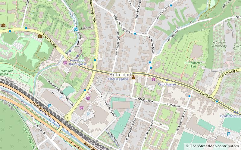
Penzing (Hütteldorf)Vienna
ContactAdd
Social media
Add
Day trips
Steinhof – popular in the area (distance from the attraction)
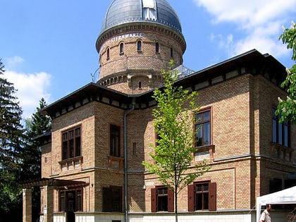
Nearby attractions include: Allianz Stadion, Kirche am Steinhof, Kuffner Observatory, Wagner Villa.
Frequently Asked Questions (FAQ)
Which popular attractions are close to Steinhof?
Nearby attractions include Kirche am Steinhof, Vienna (4 min walk), Baumgarten, Vienna (7 min walk), Kuffner Observatory, Vienna (16 min walk).
How to get to Steinhof by public transport?
The nearest stations to Steinhof:
Bus
Tram
Metro
Train
Bus
- C-Gebäude • Lines: Ows (3 min walk)
- Klinik Penzing • Lines: 47A, 48A, N46 (4 min walk)
Tram
- Hochsatzengasse/Hütteldorfer Straße • Lines: 49 (19 min walk)
- Baumgarten • Lines: 49, 52 (20 min walk)
Metro
- Ober St. Veit • Lines: U4 (30 min walk)
- Hütteldorf • Lines: U4 (31 min walk)
Train
- Wien Hütteldorf (30 min walk)
- Wien Penzing (41 min walk)

