Ottakring, Vienna
Map
Facts and practical information
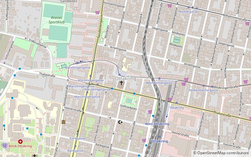
Ottakring is the 16th District in the city of Vienna, Austria. It is located west of the central districts, north of Penzing and south of Hernals. Ottakring has some heavily populated urban areas with many residential buildings. It was formed from the independent villages of Ottakring and Neulerchenfeld in 1892. ()
Day trips
Ottakring – popular in the area (distance from the attraction)
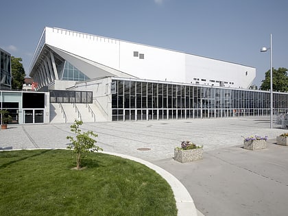
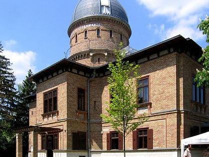
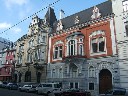
Nearby attractions include: Wiener Stadthalle, Kuffner Observatory, Meiselmarkt, Palais Kuffner.
Frequently Asked Questions (FAQ)
Which popular attractions are close to Ottakring?
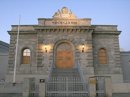
Nearby attractions include Palais Kuffner, Vienna (17 min walk), Ottakringer Brauerei, Vienna (18 min walk), Kuffner Observatory, Vienna (21 min walk).
How to get to Ottakring by public transport?
The nearest stations to Ottakring:
Tram
Bus
Train
Metro
Tram
- Johannes-Krawarik-Gasse • Lines: 44 (1 min walk)
- Weinheimergasse • Lines: 44 (3 min walk)
Bus
- Lorenz-Mandl-Gasse • Lines: 45A, 46A, 46B, N46 (2 min walk)
- Stillfriedplatz • Lines: 45A, 46A, 46B (2 min walk)
Train
- Wien Ottakring (5 min walk)
- Wien Hernals (19 min walk)
Metro
- Ottakring • Lines: U3 (6 min walk)
- Kendlerstraße • Lines: U3 (17 min walk)
