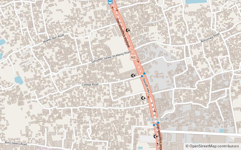
Uttara Model Town, Dhaka
Map
Facts and practical information
The Uttara Residential Area is an extension to the Uttara Model Town in a suburb of Bangladesh's capital city. ()
Area: 3.14 mi²Coordinates: 23°52'0"N, 90°24'18"E
Address
উত্তরা থানা (uttara thana)Dhaka
ContactAdd
Social media
Add
Getting there by public transportation
Public transportation stops near this location
- Bus
- Train
 Bus
Bus
- Calculate routeBRTC Bus Station 20 min walk
- Calculate routeDhaka Airport Railway Station 27 min walk
Day trips


Frequently Asked Questions (FAQ)
Which popular attractions are close to Uttara Model Town?
Nearby attractions include Sector 4 Park, Dhaka (10 min walk), Uttara, Dhaka (12 min walk).
How to get to Uttara Model Town by public transport?
The nearest stations to Uttara Model Town:
Bus
Train
Bus
- BRTC Bus Station (20 min walk)
Train
- Dhaka Airport Railway Station (27 min walk)