Azam Khan Government Commerce College, Khulna
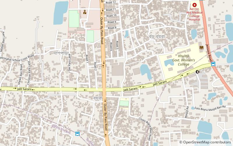
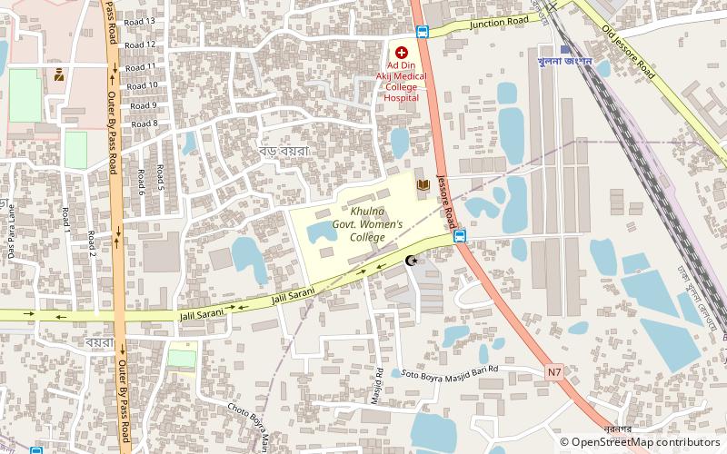
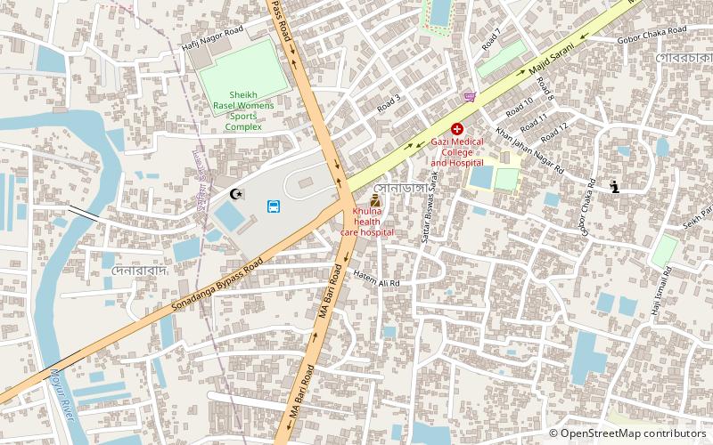
Map
Facts and practical information
Azam Khan Commerce College is the first Commerce college in Bangladesh. It is located in upper jessore road, Khulna, Bangladesh. Its basically Higher Secondary Certificate level, three years BBS and four years Honors courses including as Accounting, Management, Finance & Banking and also Marketing. Its also 2 years Masters courses in Business faculties. The college is affiliated with the Board of Intermediate and Secondary Education, Jessore and the National University. ()
Coordinates: 22°48'42"N, 89°34'6"E
Address
Khulna
ContactAdd
Social media
Add
Getting there by public transportation
Public transportation stops near this location
- Bus
- Train
 Bus
Bus
- Calculate routePTI Morh 8 min walk
- Calculate routeTootpara Graveyard 10 min walk
- Calculate routeShanti Dham Morh 12 min walk
- Calculate routeGreenline counter 12 min walk
- Calculate routeKhulna Railway Station 23 min walk
- Calculate routeKhulna Old Railway Station 26 min walk
- Calculate routePurba Rupsha 33 min walk
Day trips


Frequently Asked Questions (FAQ)
How to get to Azam Khan Government Commerce College by public transport?
The nearest stations to Azam Khan Government Commerce College:
Bus
Train
Bus
- PTI Morh (8 min walk)
- Tootpara Graveyard (10 min walk)
Train
- Khulna Railway Station (23 min walk)
- Khulna Old Railway Station (26 min walk)