Khulna Public College, Khulna
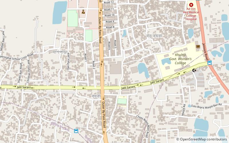
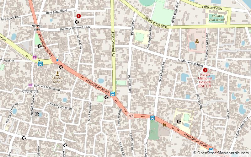
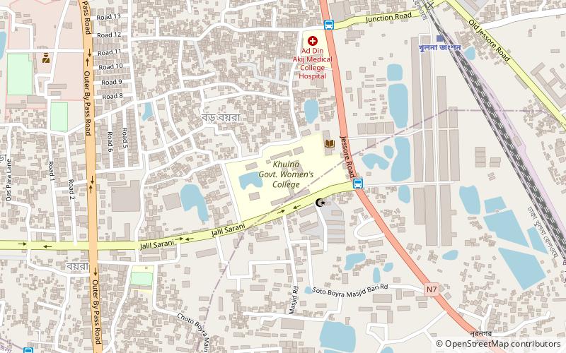
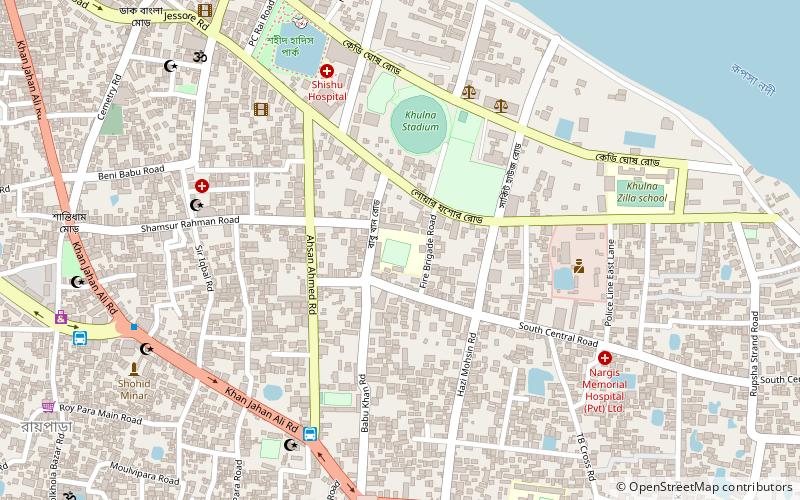
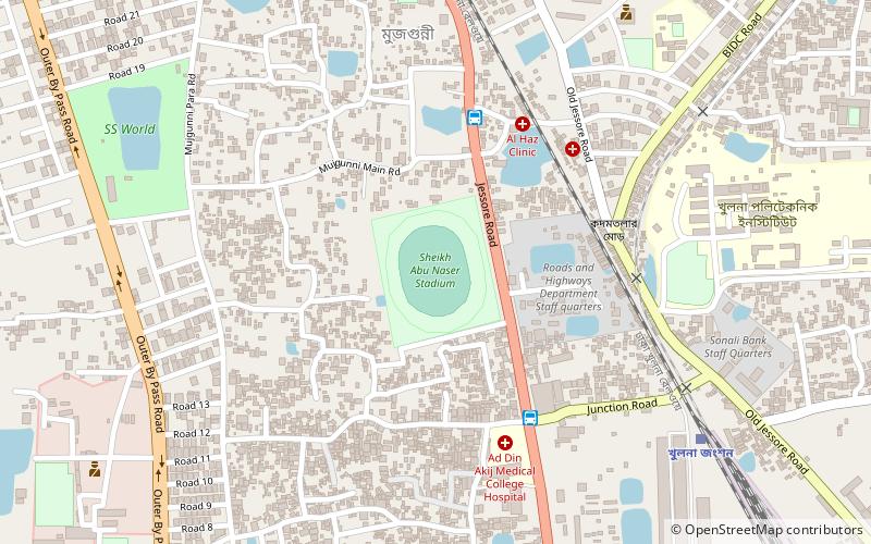
Map
Facts and practical information
Khulna Public College or KPC, formerly known as Sundarban Boys' Public School and College, is an autonomous educational institution directly administered by the Ministry of Education in Boyra, Khulna, Bangladesh. It offers education for 3rd through 12th grade. It is an educational institution only for boys. In 2015, KPC was named The Best Digital Educational Institution of Khulna zone. ()
Coordinates: 22°50'12"N, 89°31'59"E
Address
Jalil SaraniKhulna
ContactAdd
Social media
Add
Day trips
Khulna Public College – popular in the area (distance from the attraction)
Nearby attractions include: Divisional Museum, St. Joseph's Cathedral, Rupsha Rail Bridge, Khulna Govt. Girls College.
Frequently Asked Questions (FAQ)
How to get to Khulna Public College by public transport?
The nearest stations to Khulna Public College:
Bus
Train
Bus
- Boyra Bazar (3 min walk)
- Boyra College Morh (12 min walk)
Train
- Khulna Junction Rail Station (18 min walk)

