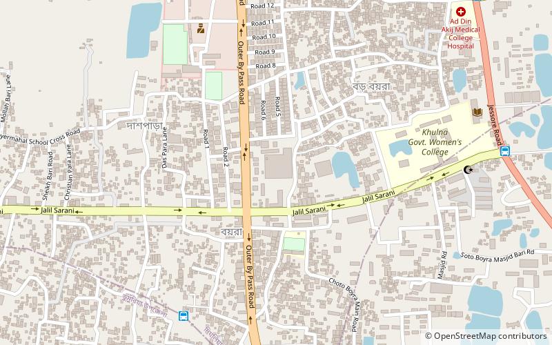
Khulna Govt. Girls College, Khulna
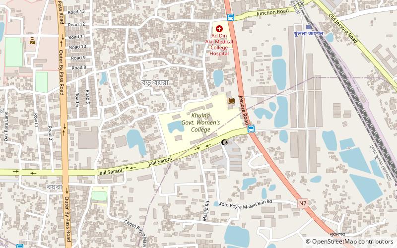
Map
Facts and practical information
Khulna Govt. Girls College is a well known college in Khulna, Bangladesh. It has Higher Secondary School Certificate, Degree Pass course, Honors courses and also 2 years Masters courses. It's one of the oldest girls college in Khulna. ()
Coordinates: 22°50'15"N, 89°32'16"E
Address
Jalil SaraniKhulna
ContactAdd
Social media
Add
Getting there by public transportation
Public transportation stops near this location
- Bus
- Train
 Bus
Bus
- Calculate routeBoyra College Morh 4 min walk
- Calculate routeBoikali 8 min walk
- Calculate routeBoyra Bazar 11 min walk
- Calculate routeMujgunni 18 min walk
- Calculate routeKhulna Junction Rail Station 11 min walk
Day trips


Frequently Asked Questions (FAQ)
How to get to Khulna Govt. Girls College by public transport?
The nearest stations to Khulna Govt. Girls College:
Bus
Train
Bus
- Boyra College Morh (4 min walk)
- Boikali (8 min walk)
Train
- Khulna Junction Rail Station (11 min walk)