Kortekeer
Map

Map

Facts and practical information
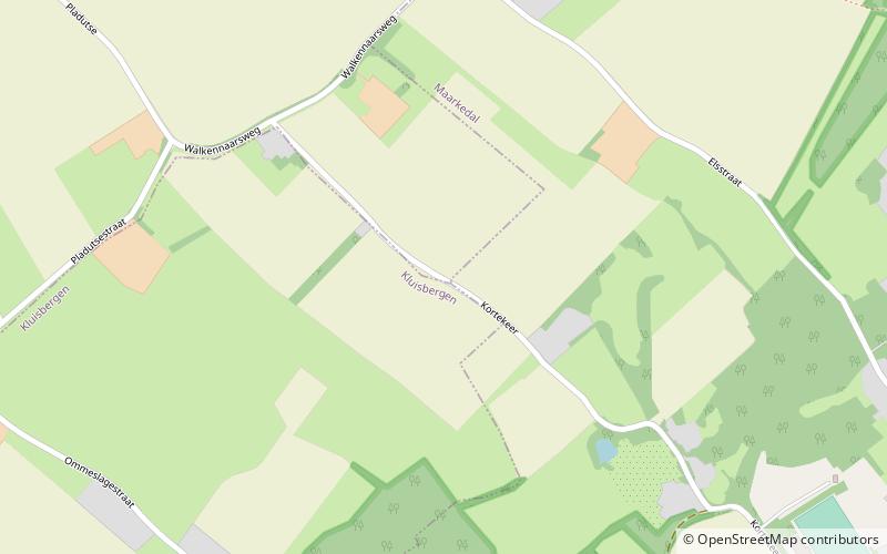
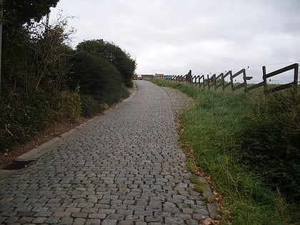
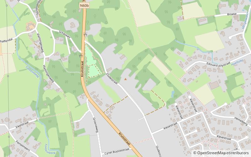
Kortekeer is the name of an uphill road in the municipality of Maarkedal, in the Belgian province of East Flanders. With its top at 88 m, it is one of the many hills in the Flemish Ardennes. The road is narrow with steep bankings on either side with an asphalted surface. The steepest point is 17.1%. It was the epicenter of one of the most powerful earthquakes ever measured in Belgium, at 5.5 on the Richter scale in 1938. ()
Location
Vlaanderen
ContactAdd
Social media
Add
Day trips
Kortekeer – popular in the area (distance from the attraction)
Nearby attractions include: Koppenberg, Flanders Field American Cemetery and Memorial, Paterberg, Oudenaarde Town Hall.


