Olivier-Charbonneau Bridge, Montreal
Map
Gallery
Facts and practical information
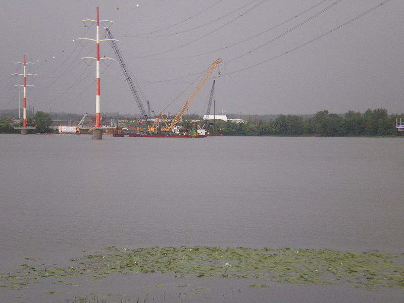
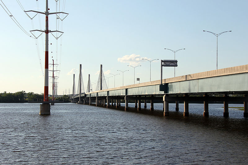
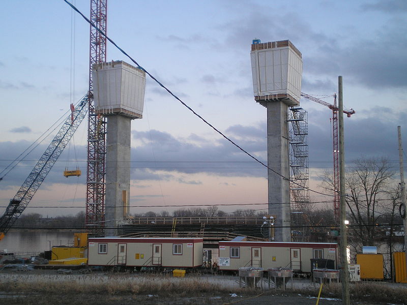
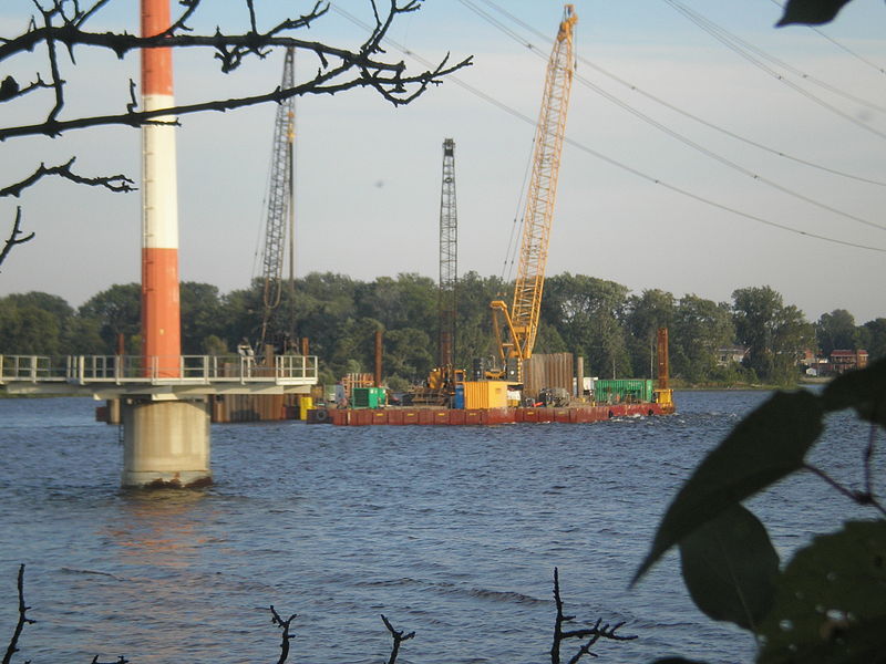
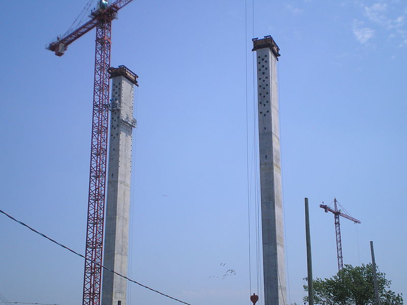
The Olivier Charbonneau Bridge is a toll bridge over the Rivière des Prairies, between Laval's St. François district and Montreal's Rivière-des-Prairies–Pointe-aux-Trembles borough. Along with the Serge-Marcil Bridge, it is one of two toll bridges in Quebec. ()
Coordinates: 45°38'11"N, 73°37'8"W
Day trips
Olivier-Charbonneau Bridge – popular in the area (distance from the attraction)
Nearby attractions include: Parc-nature de l'Île-de-la-Visitation, Galeries d'Anjou, Saint-Leonard Cavern, Papineau-Leblanc Bridge.
Frequently Asked Questions (FAQ)
How to get to Olivier-Charbonneau Bridge by public transport?
The nearest stations to Olivier-Charbonneau Bridge:
Bus
Bus
- Lévesque / Roger-Lortie • Lines: 252E, 252O, 42E, 42O, 52E, 52O, 925S, 942O (10 min walk)
- Lévesque / Face Au 6644 • Lines: 252E, 42E, 52E (11 min walk)



 Metro
Metro


