Pont Pie-IX, Montreal
Map

Map

Facts and practical information
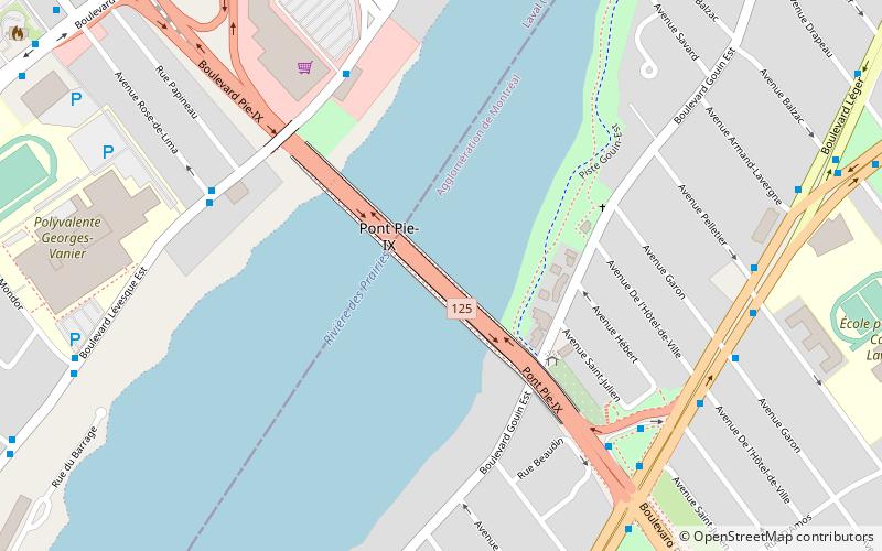
Pie IX Bridge is a bridge in Quebec, spanning the Rivière des Prairies. It connects the Saint-Vincent-de-Paul area of Laval, on Île Jésus, and the borough of Montréal-Nord in Montreal, on the Island of Montreal. The bridge was part of Autoroute 25 until the construction of the new toll bridge for Autoroute 25. It is now part of Quebec Route 125. ()
Opened: 1937 (89 years ago)Coordinates: 45°35'56"N, 73°38'47"W
Day trips
Pont Pie-IX – popular in the area (distance from the attraction)
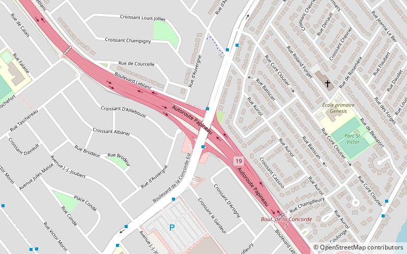
Nearby attractions include: Parc-nature de l'Île-de-la-Visitation, La Visitation, Saint-Leonard Cavern, Papineau-Leblanc Bridge.
Frequently Asked Questions (FAQ)
How to get to Pont Pie-IX by public transport?
The nearest stations to Pont Pie-IX:
Bus
Train
Bus
- Lévesque / De La Concorde • Lines: 222E, 222O, 22E, 22O (6 min walk)
- Carrefour Henri-Bourassa / Pie-IX • Lines: 139-N, 139-S (6 min walk)
Train
- Saint-Michel–Montréal-Nord (35 min walk)

 Metro
Metro


