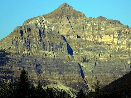
Mount Whymper, Kootenay National Park
#8 among attractions in Kootenay National Park
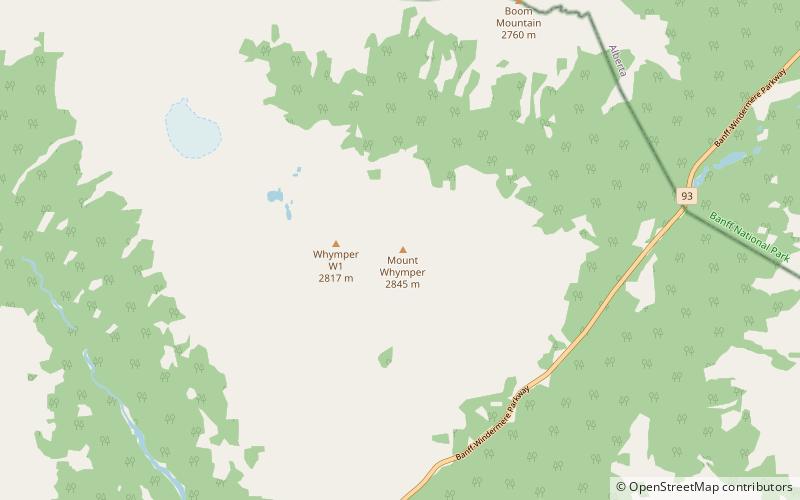

Facts and practical information
Mount Whymper, 2,844 m, is a mountain located in the Canadian Rockies, British Columbia, Canada, in the Vermilion Pass area in Kootenay National Park. ()
Kootenay National Park Canada
Mount Whymper – popular in the area (distance from the attraction)
Nearby attractions include: Tonsa, Bident Mountain, Mount Fay, Quadra Mountain.
 Mountain
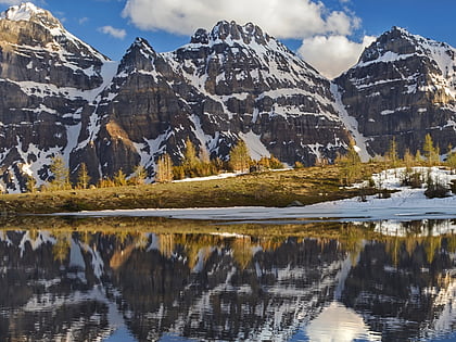
Tonsa
172 min walk • Tonsa, or Tonsa Peak, is a 3,053-metre mountain summit located on the border of Alberta and British Columbia on the Continental Divide in the Canadian Rockies. The mountain forms part of the backdrop to Moraine Lake in the Valley of the Ten Peaks of Banff National Park. It was named in 1894 by Samuel E.S.
 Mountain
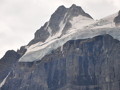
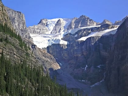
Bident Mountain, Banff National Park
121 min walk • Bident Mountain is a 3,088-metre summit in Banff National Park, Alberta, Canada. With only 103 m prominence, Bident Mountain together with Quadra Mountain form an imposing wall in the Canadian Rockies and act as subpeaks of Mount Fay.
 Nature, Natural attraction, Mountain
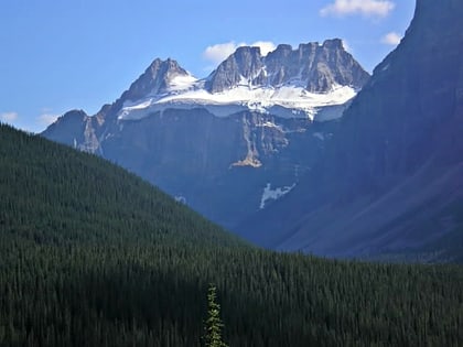
Mount Fay, Kootenay National Park
149 min walk • Mount Fay is a mountain located on the border of Alberta and British Columbia on the Continental Divide in the Canadian Rockies. The mountain forms part of the backdrop to Moraine Lake in the Valley of the Ten Peaks of Banff National Park. It was named in 1902 by Charles E. Fay, an early explorer of the Canadian Rockies.
 Nature, Natural attraction, Mountain
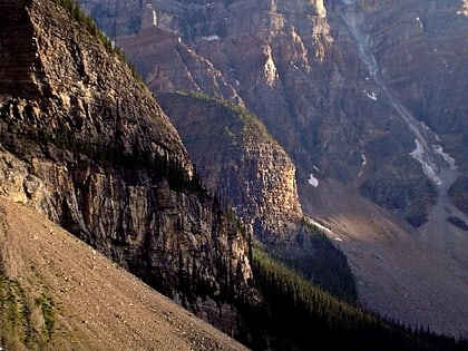
Quadra Mountain, Banff National Park
126 min walk • Quadra Mountain is located on the border of Alberta and British Columbia on the Continental Divide. It was named in 1910 by Arthur Oliver Wheeler. The name refers to the mountain's four pinnacles.
 Nature, Natural attraction, Mountain
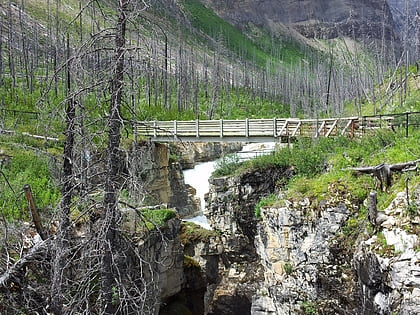
Mount Bowlen, Banff National Park
169 min walk • Mount Bowlen is located on the border of Alberta and British Columbia and forms part of the Valley of the Ten Peaks. It was named in 1953 after John J.
 Nature, Natural attraction, Canyon
Marble Canyon, Kootenay National Park
81 min walk • Marble Canyon is a canyon surrounding Tokumm Creek just above its confluence with the Vermilion River, at the north end of Kootenay National Park in the Canadian Rockies of British Columbia, Canada.
 Nature, Natural attraction, Mountain
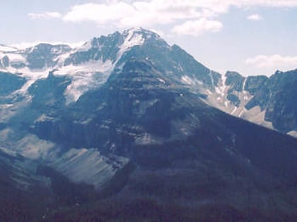
Stanley Peak, Kootenay National Park
107 min walk • Stanley Peak is a 3,155-metre mountain located in the Ball Range, at the northeastern section of Kootenay National Park, in the Canadian Rocky Mountains.
 Natural attraction, Nature, Mountain
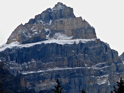
Mount Tuzo, Yoho National Park
197 min walk • Mount Tuzo, previously "Peak Seven" or "Shagowa", was named in 1907 after its first ascendant Henrietta L. Tuzo. It is located within the Valley of the Ten Peaks in the Canadian Rockies, along the Continental Divide, which forms the boundary between British Columbia and Alberta in this region.
 Nature, Natural attraction, Mountain
Mount Perren, Kootenay National Park
176 min walk • Mount Perren is located on the border of Alberta and British Columbia on the Continental Divide. It was named in 1968 after Walter Perren, a Swiss climbing guide and Parks Canada service warden.
 Nature, Natural attraction, Mountain
Mount Ball, Banff National Park
157 min walk • Mount Ball is a mountain located on the Continental Divide, on the borders of Banff and Kootenay national parks in Western Canada. Mt. Ball is the highest peak of the Ball Range in the Canadian Rockies.
 Natural attraction, Nature, Mountain
Mount Allen, Yoho National Park
179 min walk • Mount Allen is a mountain in the Canadian Rockies, located on the Continental Divide, which forms the provincial boundary between British Columbia and Alberta in this region. J. Monroe Thorington named this mountain for Samuel Evans Stokes Allen in 1924.
