Stanley Peak, Kootenay National Park
Map
Map

Facts and practical information
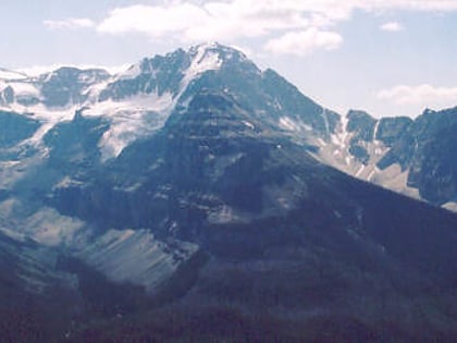
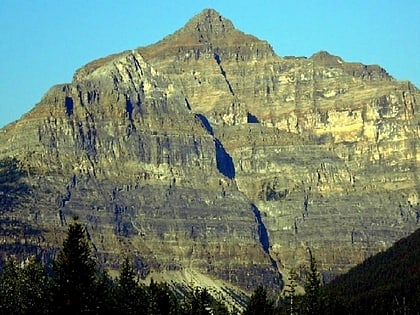
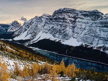
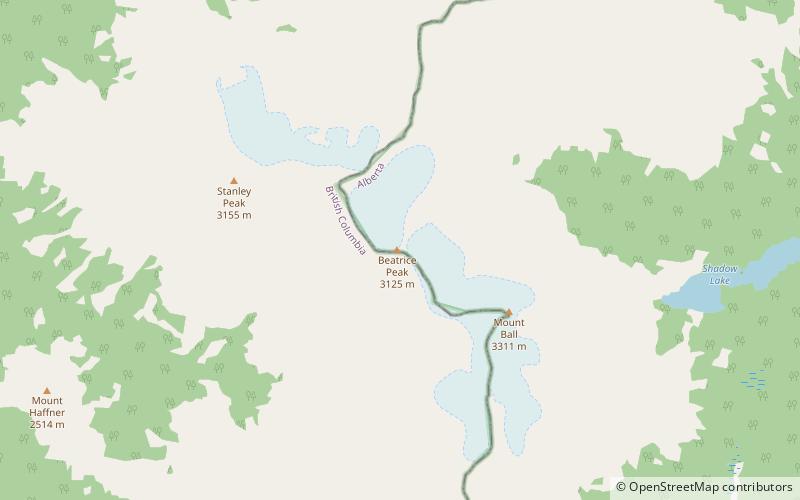
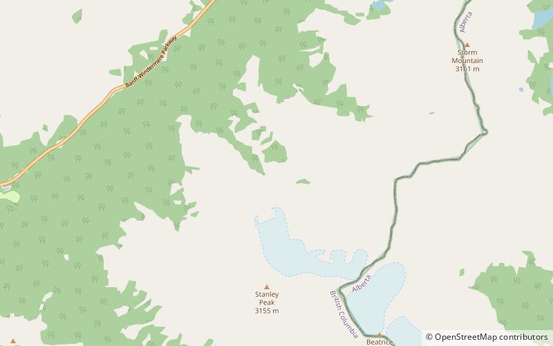
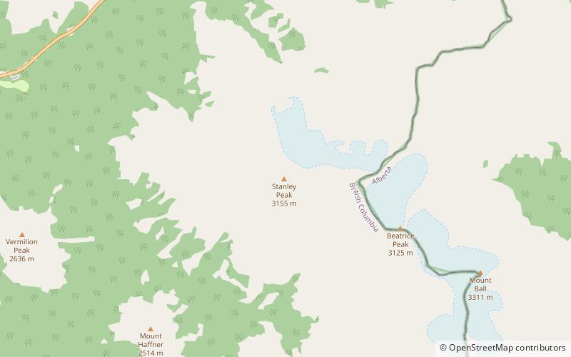
Stanley Peak is a 3,155-metre mountain located in the Ball Range, at the northeastern section of Kootenay National Park, in the Canadian Rocky Mountains. The mountain was named in 1901 by its first climber, the English explorer Edward Whymper, after Frederick Stanley, 16th Earl of Derby, the sixth Governor-General of Canada. There are sources that date the naming in 1912 after Stanley H. Mitchell, Secretary-Treasurer of Alpine Club of Canada. ()
Alternative names: First ascent: 1901Elevation: 10351 ftProminence: 814 ftCoordinates: 51°10'13"N, 116°3'14"W
Address
Kootenay National Park
ContactAdd
Social media
Add
Day trips
Stanley Peak – popular in the area (distance from the attraction)
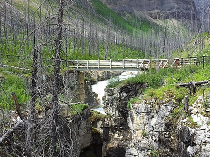
Nearby attractions include: Numa Falls, Marble Canyon, Mount Whymper, Mount Ball.
