Marble Canyon, Kootenay National Park
Map
Map

Facts and practical information
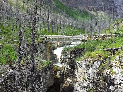
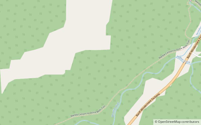
Marble Canyon is a canyon surrounding Tokumm Creek just above its confluence with the Vermilion River, at the north end of Kootenay National Park in the Canadian Rockies of British Columbia, Canada. South of Marble Canyon on Highyway 93 is Numa Falls on the Vermillion River. ()
Coordinates: 51°10'60"N, 116°7'59"W
Address
Kootenay National Park
ContactAdd
Social media
Add
Day trips
Marble Canyon – popular in the area (distance from the attraction)
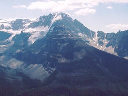
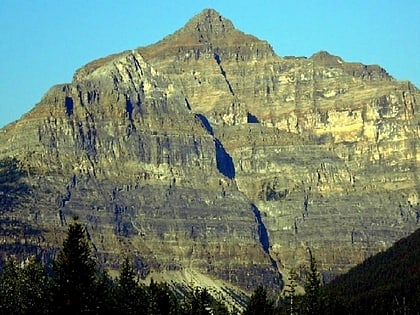
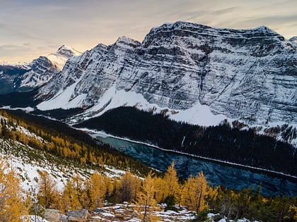
Nearby attractions include: Numa Falls, Stanley Peak, Mount Whymper, Tumbling Peak.
