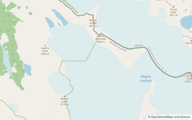
Mont des Poilus, Yoho National Park
Map
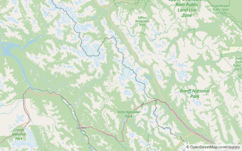
Map

Facts and practical information
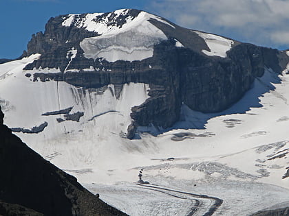
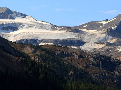
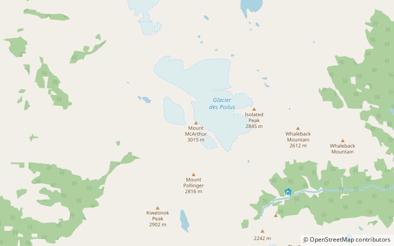
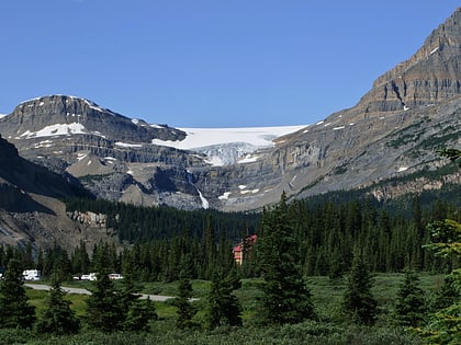
Mont des Poilus is a 3,166-metre mountain summit located in Yoho National Park, in the Canadian Rockies of British Columbia, Canada. Its nearest higher peak is Mount Baker, 8.0 km to the north. Both are part of the Waputik Mountains. ()
Alternative names: First ascent: 1901Elevation: 10387 ftProminence: 1529 ftCoordinates: 51°35'41"N, 116°36'22"W
Address
Yoho National Park
ContactAdd
Social media
Add
Day trips
Mont des Poilus – popular in the area (distance from the attraction)
Nearby attractions include: Bow Glacier Falls, Stanley Mitchell hut, Portal Peak, Bow Hut.


