Mount Habel
Map
Gallery
Facts and practical information
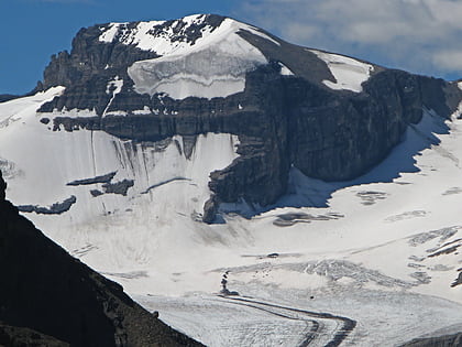
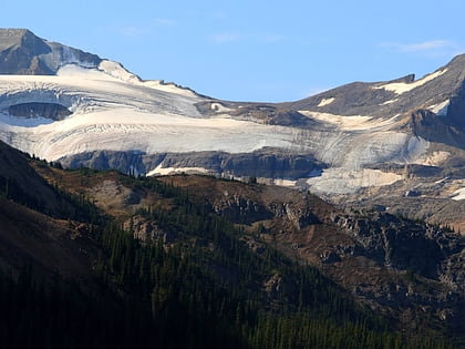
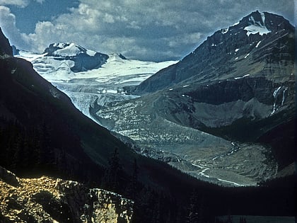
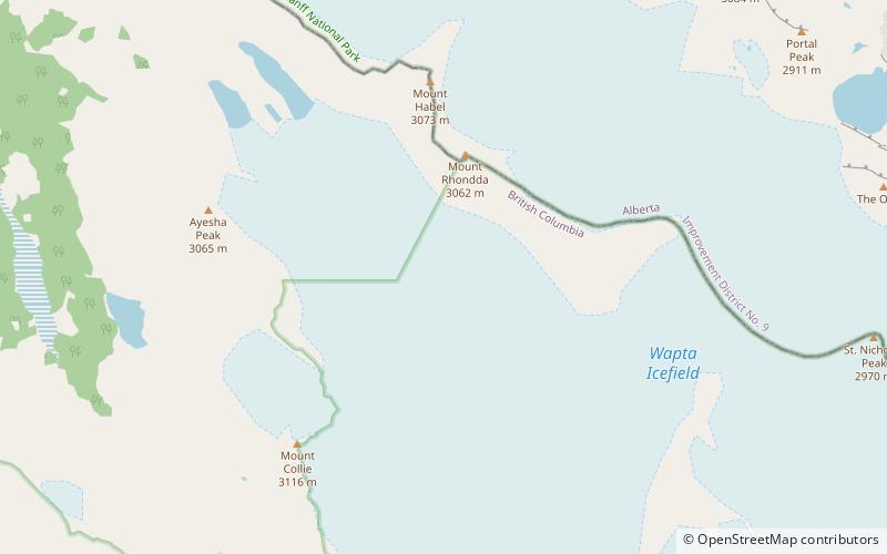
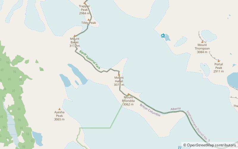
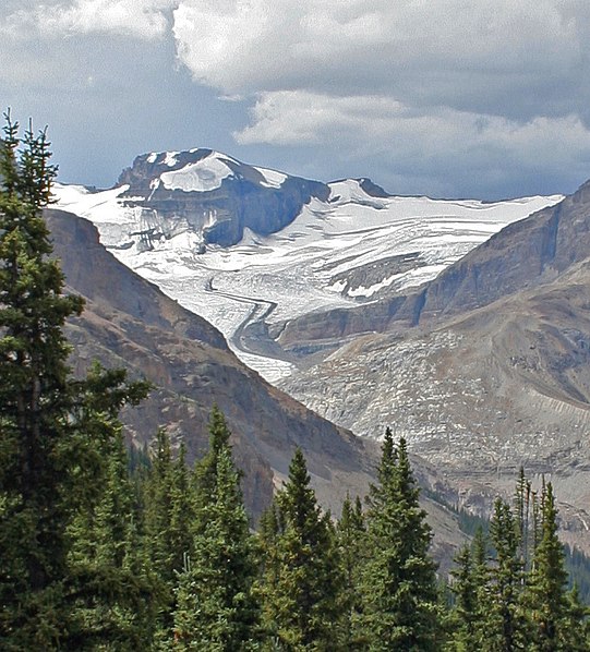
Mount Habel is a 3,087-metre mountain summit located on the Continental Divide along the border of Alberta and British Columbia in the Waputik Mountains, part of the Canadian Rockies. It was named in 1986 after Jean Habel. Jean Habel was a German geographer who explored the Canadian Rockies and in 1897 was the first to set foot on the Wapta Icefield which surrounds Mount Habel. ()
Coordinates: 51°39'7"N, 116°34'16"W
Location
British Columbia
ContactAdd
Social media
Add
Day trips
Mount Habel – popular in the area (distance from the attraction)
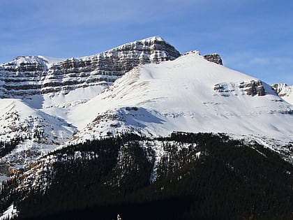
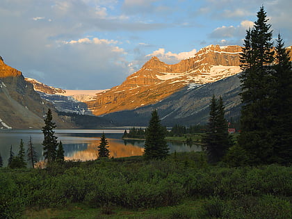
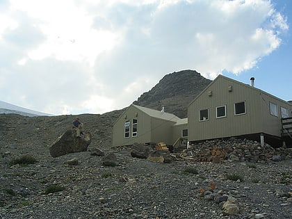
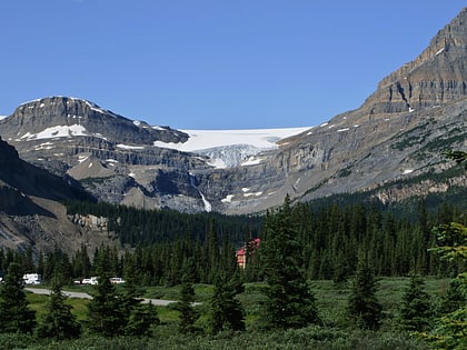
Nearby attractions include: Bow Glacier Falls, Mount Jimmy Simpson, Portal Peak, Bow Hut.
