David A. Balfour Park, Toronto

Gallery (2)
Map
Map
Gallery
Facts and practical information
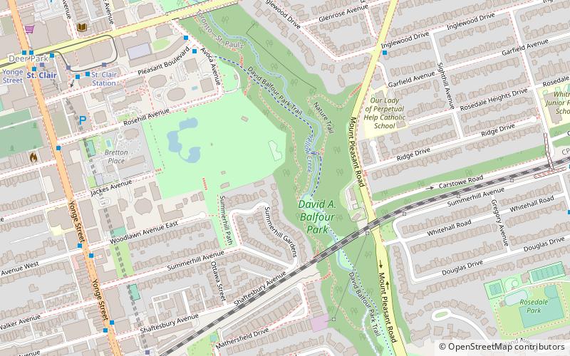
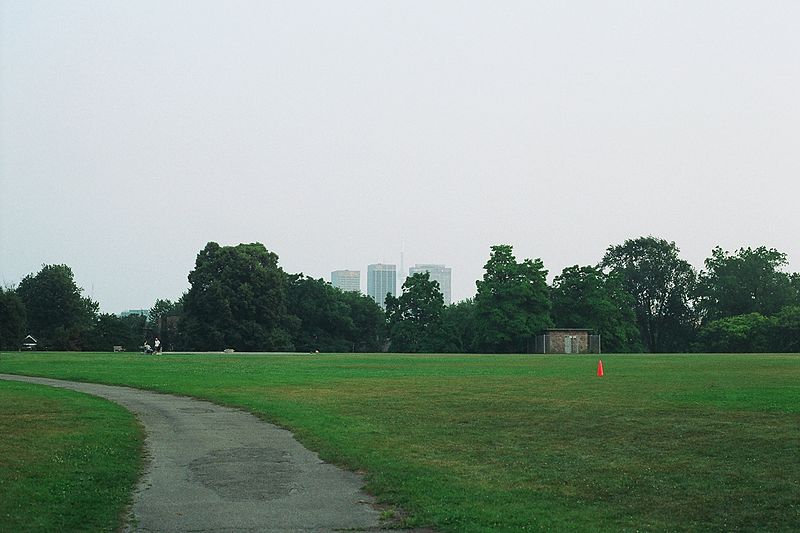
David A. Balfour Park is an urban park in the Deer Park neighbourhood of Toronto near the intersection of Yonge Street and St. Clair Avenue. The park made up of 20.5 hectares of green space consisting of the greenery-covered Rosehill Reservoir and the entirety of the Vale of Avoca with its system of trails. ()
Elevation: 400 ft a.s.l.Coordinates: 43°41'8"N, 79°23'11"W
Address
Midtown (Summerhill)Toronto
ContactAdd
Social media
Add
Getting there by public transportation
Public transportation stops near this location
- Metro
- Bus
- Tram
 Metro
Metro
- Calculate routeSt. Clair 9 min walk
- Calculate routeSouth Drive 14 min walk
- Calculate routeRosedale Station 16 min walk
- Calculate routeMay Street 20 min walk
- Calculate routeSummerhill 9 min walk
- Calculate routeSt. Clair 11 min walk
- Calculate routeRosedale 17 min walk
- Calculate routeDavisville 26 min walk
- Calculate routeSt. Clair Station 9 min walk
- Calculate routeYonge Street 12 min walk
- Calculate routeDeer Park 16 min walk
- Calculate routeAvenue Road 20 min walk
Maps SubwayMaps
 Streetcar systemMaps
 PATH
PATH
SubwayMapsStreetcar systemMapsPATHDay trips


Frequently Asked Questions (FAQ)
Which popular attractions are close to David A. Balfour Park?
Nearby attractions include Vale of Avoca, Toronto (8 min walk), Loring-Wyle Parkette, Toronto (11 min walk), Hollywood Theatre, Toronto (13 min walk), St. Michael's Cemetery, Toronto (13 min walk).
How to get to David A. Balfour Park by public transport?
The nearest stations to David A. Balfour Park:
Bus
Metro
Tram
Bus
- St. Clair (9 min walk)
- South Drive • Lines: 82 (14 min walk)
Metro
- Summerhill • Lines: 1 (9 min walk)
- St. Clair • Lines: 1 (11 min walk)
Tram
- St. Clair Station • Lines: 512 (9 min walk)
- Yonge Street • Lines: 512 (12 min walk)