Loring-Wyle Parkette, Toronto
Map
Gallery
Facts and practical information
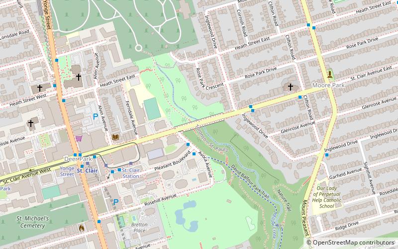
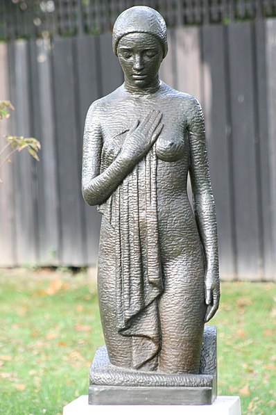
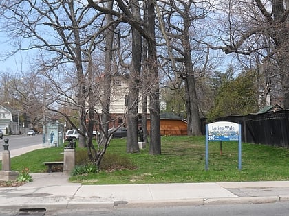
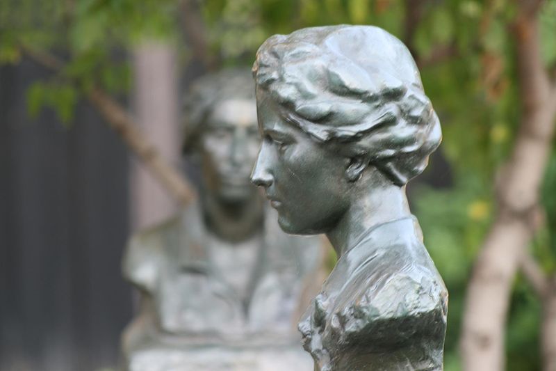
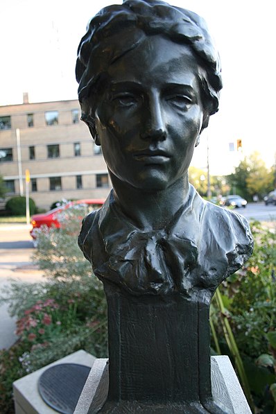
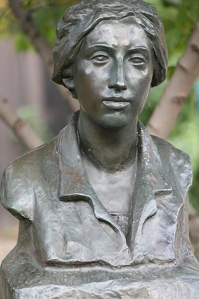
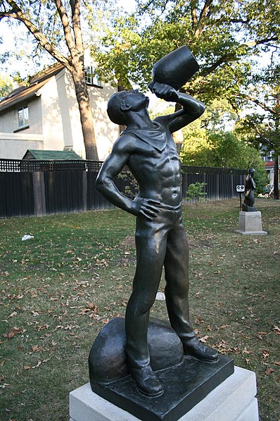
Loring-Wyle Parkette is a small plot of land, on the northeast corner of the Mount Pleasant Road and St. Clair Avenue East intersection in Toronto's Moore Park neighbourhood, dedicated to the art and memory of two famous Toronto sculptors: Frances Loring and Florence Wyle. Until October 1976, the long, narrow property served as the Moore Park Loop turnaround for the Toronto Transit Commission's Mount Pleasant streetcar. ()
Created: 1984Elevation: 466 ft a.s.l.Coordinates: 43°41'27"N, 79°22'60"W
Day trips
Loring-Wyle Parkette – popular in the area (distance from the attraction)
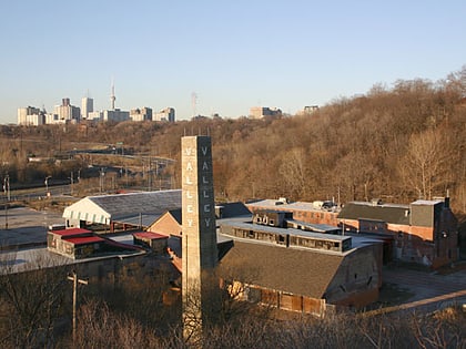
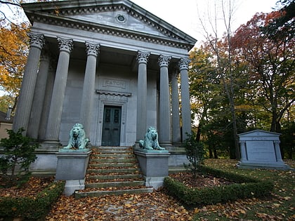
Nearby attractions include: Evergreen Brick Works, David A. Balfour Park, Mount Pleasant Cemetery, Beltline Trail.
Frequently Asked Questions (FAQ)
Which popular attractions are close to Loring-Wyle Parkette?
Nearby attractions include Vale of Avoca, Toronto (8 min walk), Mount Pleasant Cemetery, Toronto (10 min walk), David A. Balfour Park, Toronto (11 min walk), Yorkminster Park Baptist Church, Toronto (14 min walk).
How to get to Loring-Wyle Parkette by public transport?
The nearest stations to Loring-Wyle Parkette:
Bus
Tram
Metro
Bus
- St. Clair (13 min walk)
- Mount Pleasant Road • Lines: 11A, 11C (18 min walk)
Tram
- St. Clair Station • Lines: 512 (13 min walk)
- Yonge Street • Lines: 512 (16 min walk)
Metro
- St. Clair • Lines: 1 (15 min walk)
- Summerhill • Lines: 1 (19 min walk)


 Subway
 Streetcar system
 PATH
PATH