Stairway Peak, Banff National Park
Map

Map

Facts and practical information
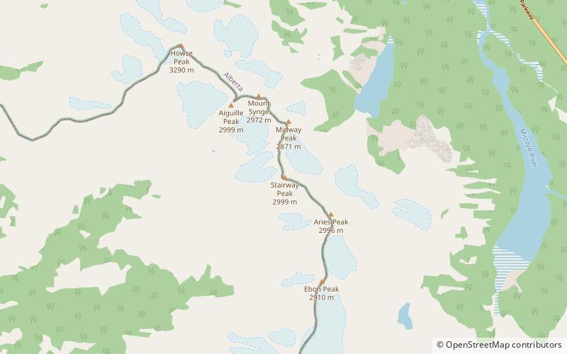
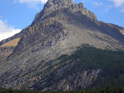
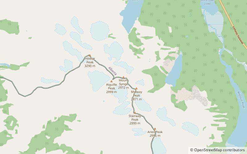
Stairway Peak is a 3,006 metres mountain summit located on the Continental Divide, on the shared border of Alberta and British Columbia in the Canadian Rockies. It is also on the shared border between Banff National Park and Yoho National Park, and can be seen from the Icefields Parkway. It was named in 1918 by Arthur O. Wheeler. ()
First ascent: 1944Elevation: 9862 ftProminence: 344 ftCoordinates: 51°47'35"N, 116°39'22"W
Address
Banff National Park
ContactAdd
Social media
Add
Day trips
Stairway Peak – popular in the area (distance from the attraction)
Nearby attractions include: Mount Weed, Epaulette Mountain, Mount Noyes, Mount Chephren.
Frequently Asked Questions (FAQ)
Which popular attractions are close to Stairway Peak?
Nearby attractions include Midway Peak, Banff National Park (15 min walk), Mount Synge, Banff National Park (23 min walk).


