Mount Weed
Map

Gallery
Facts and practical information
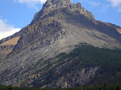
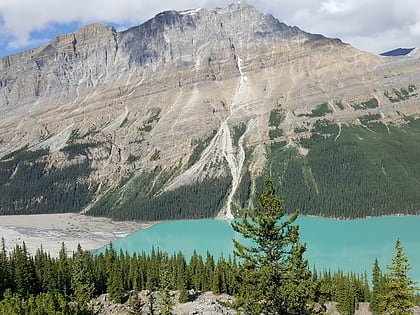
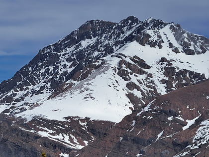
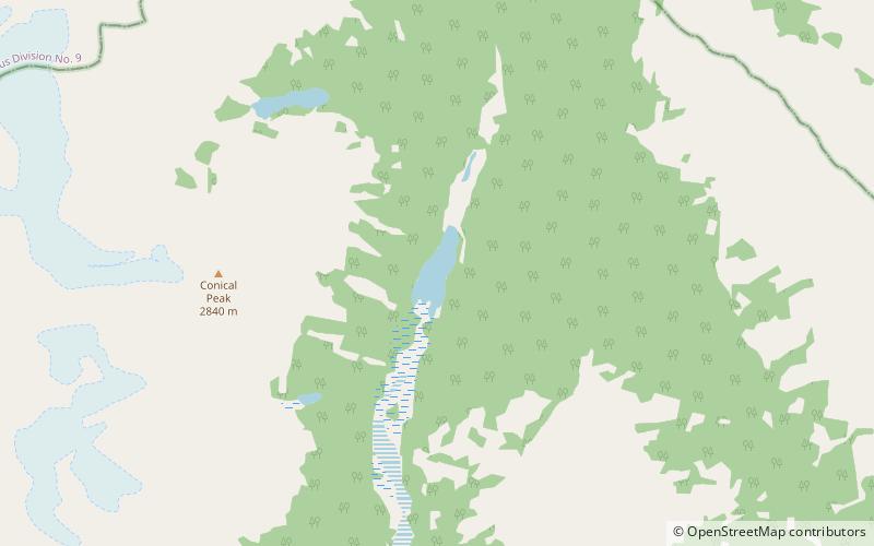
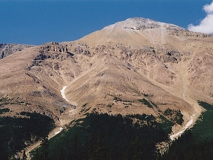
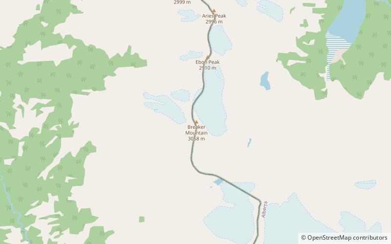
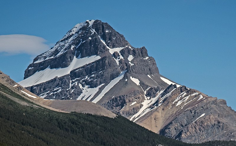
Mount Weed is a 3,080-metre mountain summit located in the Mistaya River valley of Banff National Park, in the Canadian Rockies of Alberta, Canada. Mount Weed is situated at the confluence of Silverhorn Creek and Mistaya River, 3.5 kilometres southwest of Mount Noyes, 4.5 km east of Mistaya Lake, and 14 km north of Bow Lake. Its nearest higher peak is Mount Patterson, 5.82 km to the southwest. Patterson stands directly across the Mistaya River valley from Weed, and both are prominent features seen from the Icefields Parkway. ()
Coordinates: 51°47'31"N, 116°31'35"W
Location
Alberta
ContactAdd
Social media
Add
Day trips
Mount Weed – popular in the area (distance from the attraction)
Nearby attractions include: Peyto Lake, Mount Noyes, Silverhorn Mountain, Isabella Lake.
