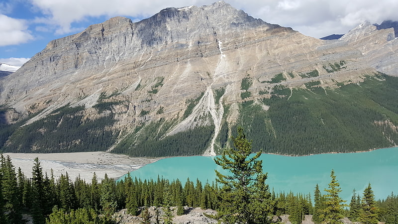
Caldron Peak, Banff National Park

Gallery (1)
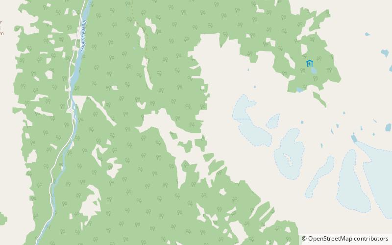
Map
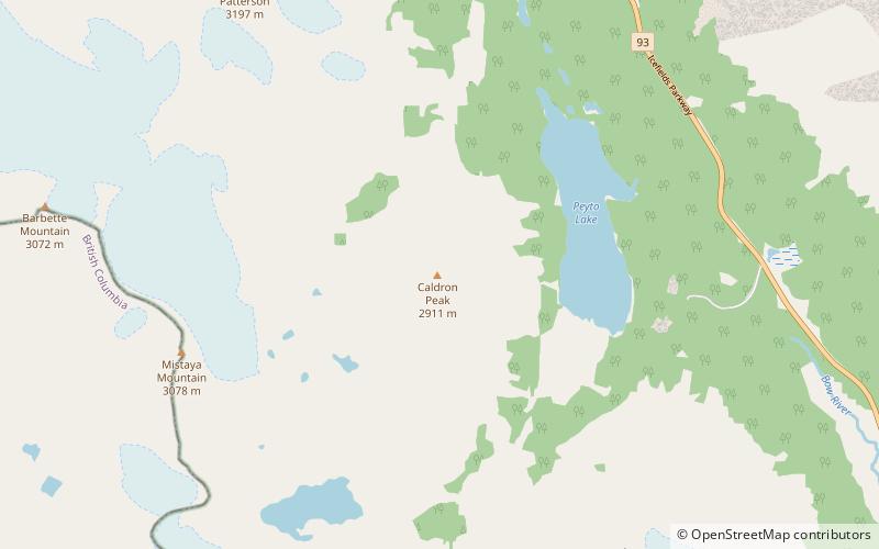
Map
Facts and practical information
Caldron Peak is a 2,911-metre mountain peak of the Waputik Range, located in Alberta, Canada. It is prominently visible from the Peyto Lake Overlook in Banff National Park. ()
First ascent: 1948Elevation: 9551 ftProminence: 1473 ftCoordinates: 51°43'8"N, 116°32'42"W
Address
Banff National Park
ContactAdd
Social media
Add
Day trips