Brampton: Neighbourhood
Places and attractions in the Neighbourhood category
Brampton South
Brampton South is a federal electoral district in the Peel Region of Ontario. Brampton South was created by the 2012 federal electoral boundaries redistribution and was legally defined in the 2013 representation order.
Brampton Centre
Brampton Centre is a federal electoral district in Ontario, Canada, that is represented in the House of Commons of Canada. This riding was created in 1996 from parts of Brampton riding and in 2013, Elections Canada redistributed 3 ridings in the city of Brampton to bring back Brampton Centre.
Brampton North
Brampton North is a federal electoral district in Ontario, Canada. It encompass portions of Ontario formerly included in the electoral districts of Brampton—Springdale, Bramalea—Gore—Malton and Brampton West.
Churchville
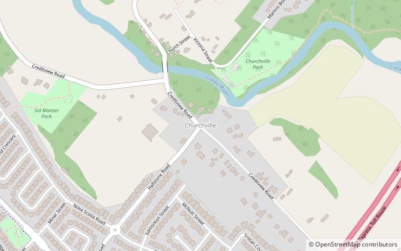
Churchville is a preserved suburban hamlet in the south-west corner of Brampton, Ontario, Canada. It is designated as a heritage community under the Ontario Heritage Act.
Castlemore
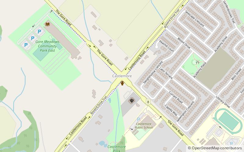
Castlemore is suburban area that is located 14 km northeast of downtown Brampton in Ontario, Canada. It consists of multiple neighbourhoods of Brampton northwest of Claireville. The area has been in active development since the early 1990s, with residential developments built in the southeastern portion in the 2000s.
Brampton West
Brampton West is a federal electoral district in Ontario, Canada, that has been represented in the House of Commons of Canada since 2004. Its population was 170,422 in 2006- making it the most populous riding in Canada. The district includes the western part of the city of Brampton excluding the neighbourhood of Madoc.
Bramalea
Bramalea is a large suburban district in the City of Brampton, Ontario, Canada. Bramalea was created as an innovative "new town", and developed as a separate community from the city.
Bramalea—Gore—Malton
Bramalea—Gore—Malton was a federal electoral district in Ontario, Canada, that was represented in the House of Commons of Canada. In 2015, it was dissolved into the ridings of Brampton East, Mississauga—Malton, Brampton Centre and Brampton North.
Mississauga—Brampton South
Mississauga—Brampton South was a federal electoral district in Ontario, Canada, that was represented in the House of Commons of Canada from 2004 to 2015.
Brampton—Springdale
Brampton—Springdale is a federal electoral district in Ontario, Canada, that was represented in the House of Commons of Canada from 2004 until 2015, when it was abolished after the 2012 federal electoral redistribution.
Peel County
Peel County is a historic county in the Canadian province of Ontario. Named for Sir Robert Peel, Prime Minister of the United Kingdom, the county was organized in 1851. Settlers, however, were in Toronto Township as early as 1807.
Snelgrove
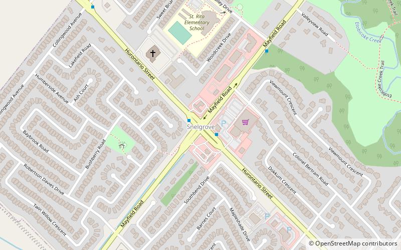
Snelgrove is a former hamlet in Brampton, Ontario, Canada, straddling the border between Brampton and Caledon, and centred on the intersection of Hurontario Street and Mayfield Road. It was known as Edmonton in the 1800s after home town of local settlers.
Map

