St. Paul's, Toronto
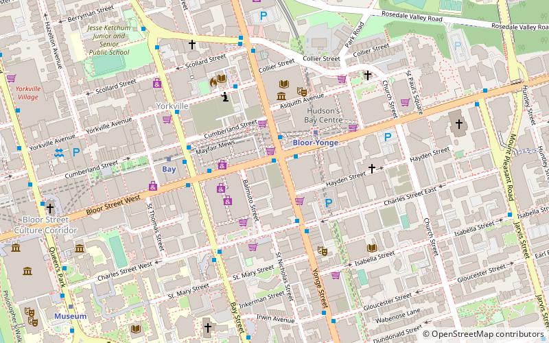
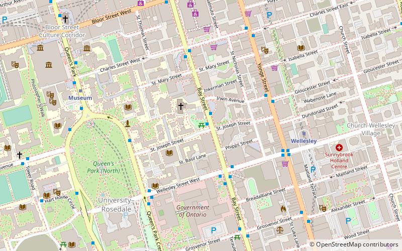
Map
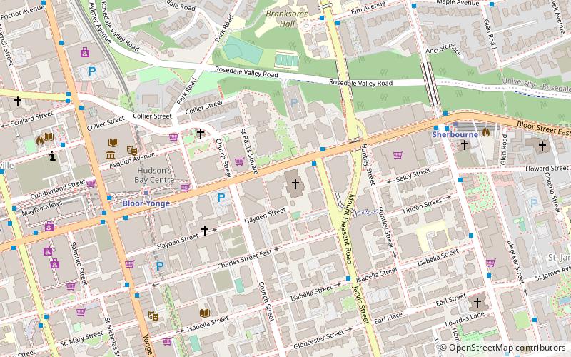
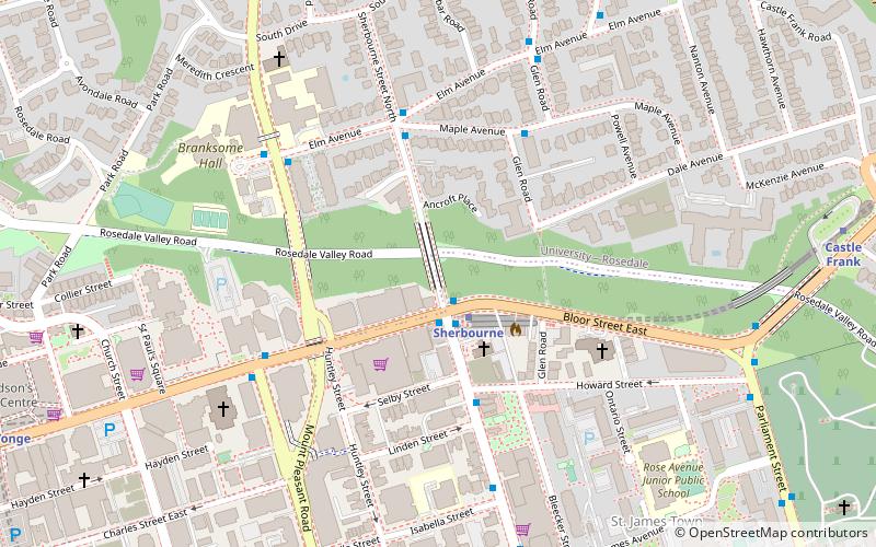
Map

Facts and practical information
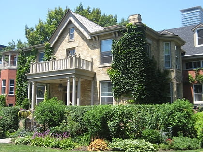
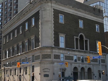
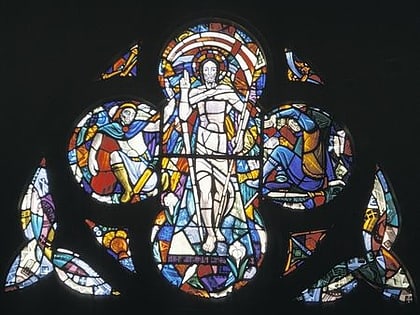
St. Paul's Bloor Street is an Anglican church that is located at 227 Bloor Street East in Toronto, Ontario. It is the largest church in the Diocese of Toronto of the Anglican Church of Canada. ()
Coordinates: 43°40'16"N, 79°22'53"W
Address
227 Bloor St EDowntown Toronto (Church and Wellesley)Toronto M4W 1C8
Contact
+1 416-961-8116
Social media
Add
Day trips
St. Paul's – popular in the area (distance from the attraction)
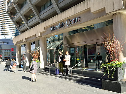
Nearby attractions include: Mink Mile, Maple Leaf Gardens, Manulife Centre, Yorkville Village.
Frequently Asked Questions (FAQ)
When is St. Paul's open?
St. Paul's is open:
- Monday 11 am - 12 am
- Tuesday 11 am - 12 am
- Wednesday 11 am - 12 am
- Thursday 11 am - 12 am
- Friday 11 am - 1 am
- Saturday 11 am - 1 am
- Sunday 11 am - 12 am
Which popular attractions are close to St. Paul's?
Nearby attractions include One Bloor, Toronto (3 min walk), St. Andrew's United Church, Toronto (4 min walk), Hudson's Bay Centre, Toronto (6 min walk), Casa Condominio Residenza, Toronto (6 min walk).
How to get to St. Paul's by public transport?
The nearest stations to St. Paul's:
Metro
Bus
Tram
Metro
- Bloor-Yonge • Lines: 1, 2 (6 min walk)
- Sherbourne • Lines: 2 (8 min walk)
Bus
- Bloor Street East • Lines: 75 (7 min walk)
- Isabella Street • Lines: 75 (8 min walk)
Tram
- Jarvis Street • Lines: 306, 506 (17 min walk)
- Church Street • Lines: 306, 506 (17 min walk)

 Subway
 Streetcar system
 PATH
PATH