Mount Dennis, Yoho National Park
Map
Gallery
Facts and practical information
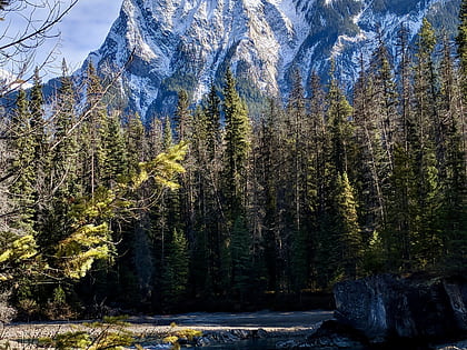
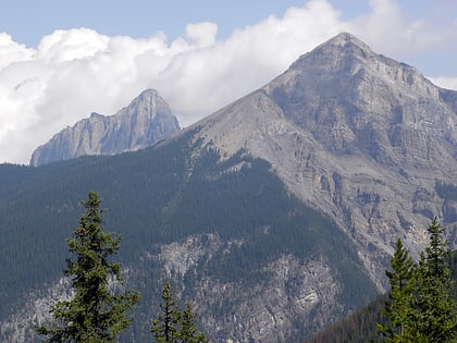
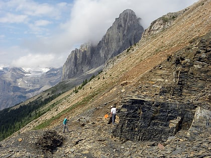
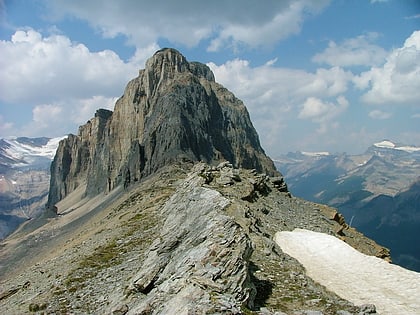
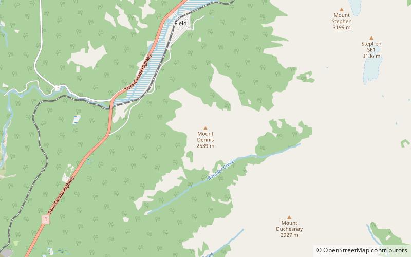
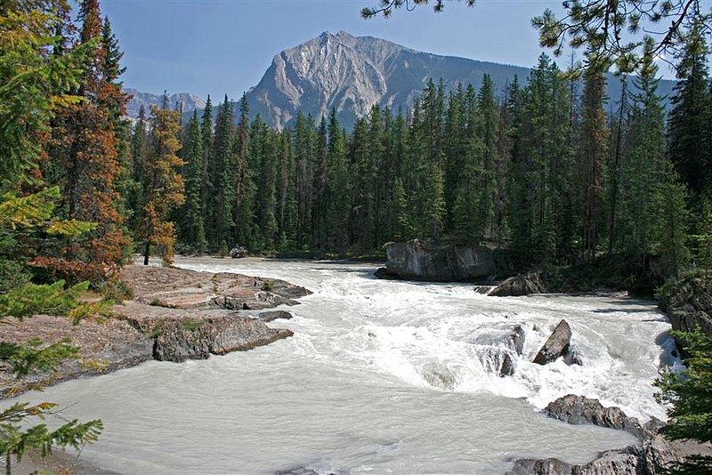
Mount Dennis is a 2,549-metre mountain summit located three kilometres south of Field in Yoho National Park, in the Park Ranges of British Columbia, Canada. Its nearest higher peak is Mount Stephen, 4.0 km to the northeast. Mount Burgess is six kilometres north on the opposite side of the Kicking Horse River valley. Mount Dennis has over 1,200-metre of vertical relief above Highway 1, the Trans-Canada Highway, which traverses the northwest foot of the mountain. ()
Coordinates: 51°22'27"N, 116°28'51"W
Address
Yoho National Park
ContactAdd
Social media
Add
Day trips
Mount Dennis – popular in the area (distance from the attraction)
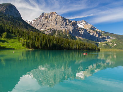
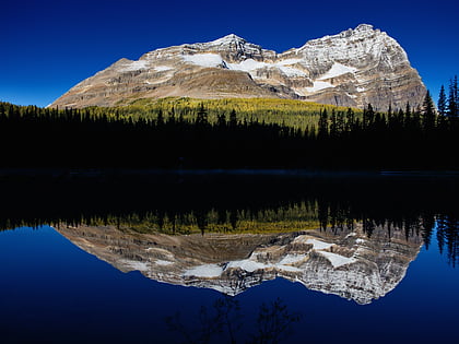
Nearby attractions include: Emerald Lake, Mount Burgess, Mount Field, Odaray Mountain.
