Corktown Common, Toronto
Map
Map

Facts and practical information
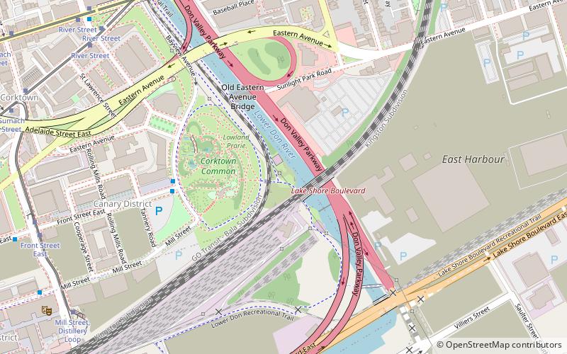
Corktown Common is a park in the south eastern portion of the West Don Lands neighbourhood in Toronto, Ontario, Canada which opened in 2013. It borders the Don River to the east. It was built on remediated industrial lands to be the centrepiece of a new emerging neighbourhood in downtown Toronto. It also provides a barrier to flooding from the Don River. ()
Elevation: 253 ft a.s.l.Coordinates: 43°39'14"N, 79°21'2"W
Day trips
Corktown Common – popular in the area (distance from the attraction)
Nearby attractions include: Rebel, St. Lawrence Market, De Grassi Street, Polson Pier.
Frequently Asked Questions (FAQ)
Which popular attractions are close to Corktown Common?
Nearby attractions include West Don Lands, Toronto (4 min walk), Old Eastern Avenue Bridge, Toronto (6 min walk), Underpass Park, Toronto (7 min walk), Queen Street Viaduct, Toronto (9 min walk).
How to get to Corktown Common by public transport?
The nearest stations to Corktown Common:
Bus
Tram
Bus
- Front Street East • Lines: 121 (5 min walk)
- Bayview Avenue • Lines: 121 (5 min walk)
Tram
- Carroll Street • Lines: 501, 501;301, 504B (9 min walk)
- Broadview Avenue • Lines: 501, 501;301, 504B (9 min walk)

 Subway
 Streetcar system
 PATH
PATH


