West Don Lands, Toronto

Gallery (4)
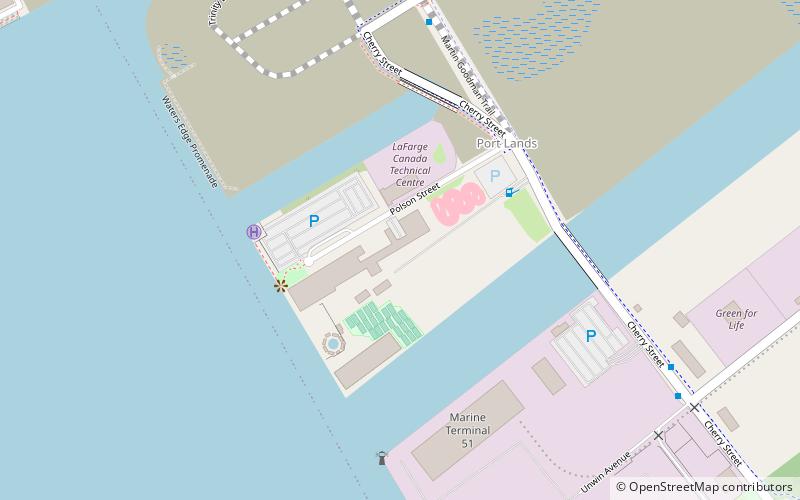
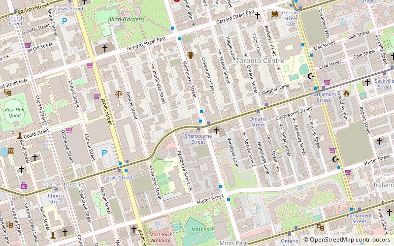
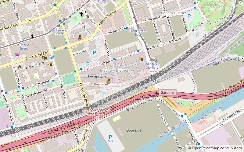
Map

Map
Gallery
Facts and practical information
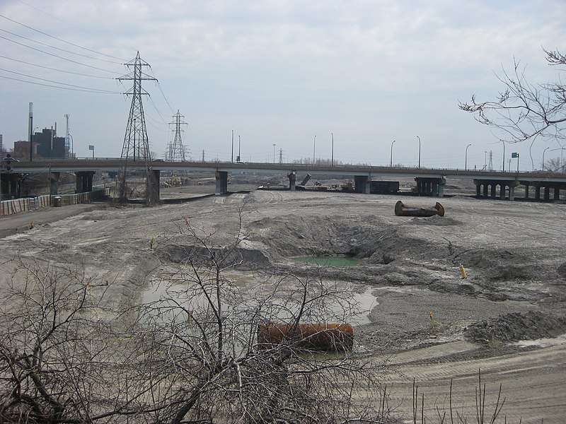
The West Don Lands are the site of a neighbourhood under construction in Toronto, Ontario, Canada. The area is bordered by the Don River, King Street, Parliament Street and the rail line adjacent to the Gardiner Expressway. It is 80 hectares in size. A former industrial area, the area is being rebuilt as a mixed-use neighbourhood. ()
Coordinates: 43°39'18"N, 79°21'11"W
Address
Downtown Toronto (West Don Lands)Toronto
ContactAdd
Social media
Add
Getting there by public transportation
Public transportation stops near this location
- Bus
- Tram
- Ferry
 Bus
Bus
- Calculate routeFront Street East 3 min walk
- Calculate routeBayview Avenue 3 min walk
- Calculate routeKing Street East 6 min walk
- Calculate routeQueen Street East 6 min walk
- Calculate routeRiver Street 7 min walk
- Calculate routeCarroll Street 7 min walk
- Calculate routeJack Layton Ferry Terminal 39 min walk
Maps SubwayMaps
 Streetcar systemMaps
 PATH
PATH
SubwayMapsStreetcar systemMapsPATHDay trips


Frequently Asked Questions (FAQ)
Which popular attractions are close to West Don Lands?
Nearby attractions include Old Eastern Avenue Bridge, Toronto (3 min walk), Underpass Park, Toronto (3 min walk), Corktown Common, Toronto (4 min walk), Queen Street Viaduct, Toronto (6 min walk).
How to get to West Don Lands by public transport?
The nearest stations to West Don Lands:
Bus
Tram
Ferry
Bus
- Front Street East • Lines: 121 (3 min walk)
- Bayview Avenue • Lines: 121 (3 min walk)
Tram
- River Street • Lines: 501, 501;301, 504B (7 min walk)
- Carroll Street • Lines: 501, 501;301, 504B (7 min walk)
Ferry
- Jack Layton Ferry Terminal • Lines: Toronto Island Ferry, Ward's Island (39 min walk)