Mideastro Yorkville, Toronto
Map
Map

Facts and practical information
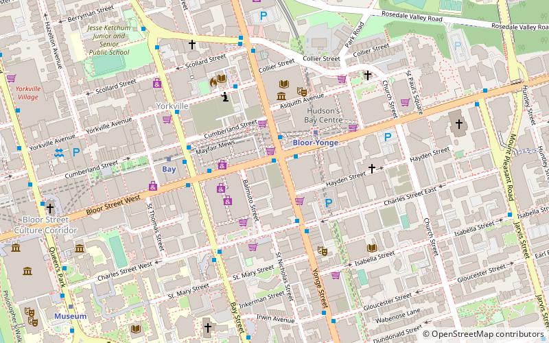
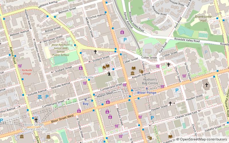
Yorkville Town Hall was the municipal building for the Village of Yorkville before its annexation by the City of Toronto. Built in 1859-1860 by architect William Hay and his apprentice Henry Langley, the three-storey building also served as an omnibus stop. The hall was located north of Bloor Street on Yonge Street, along the west side. ()
Coordinates: 43°40'18"N, 79°23'17"W
Day trips
Mideastro Yorkville – popular in the area (distance from the attraction)
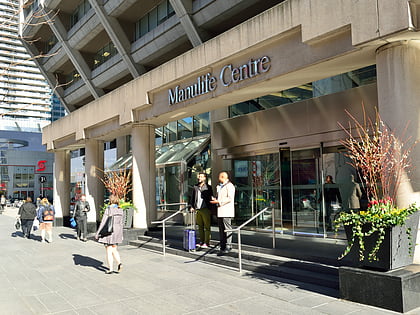
Nearby attractions include: Royal Ontario Museum, Mink Mile, Manulife Centre, Philosopher's Walk.
Frequently Asked Questions (FAQ)
Which popular attractions are close to Mideastro Yorkville?
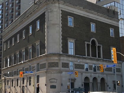
Nearby attractions include Toronto Public Library, Toronto (2 min walk), Toronto Reference Library, Toronto (2 min walk), Masonic Temple, Toronto (3 min walk), Yorkville, Toronto (3 min walk).
How to get to Mideastro Yorkville by public transport?
The nearest stations to Mideastro Yorkville:
Bus
Metro
Tram
Bus
- Bloor Street West • Lines: 19 (4 min walk)
- Davenport Road • Lines: 19 (4 min walk)
Metro
- Bloor-Yonge • Lines: 1, 2 (4 min walk)
- Bay • Lines: 2 (4 min walk)
Tram
- Yonge Street • Lines: 306, 506 (20 min walk)
- Bay Street • Lines: 306, 506 (20 min walk)

 Subway
 Streetcar system
 PATH
PATH
