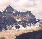
Chimney Peak, Kootenay National Park
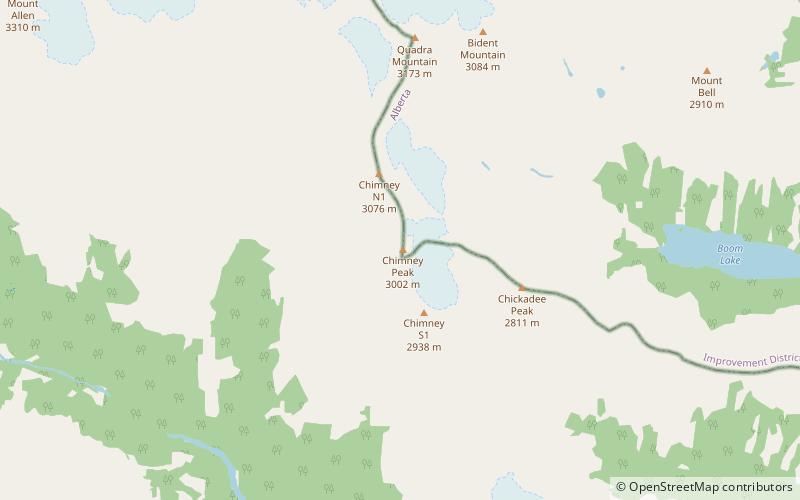
Map
Facts and practical information
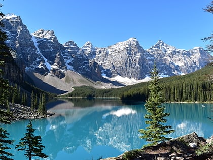
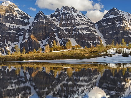
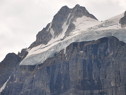
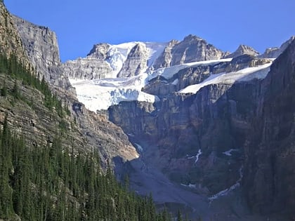
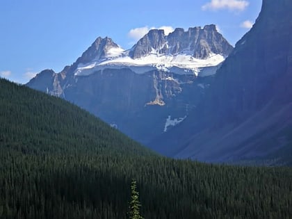
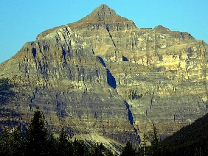
Chimney Peak is located along the border of Alberta and British Columbia on the Continental Divide just south of Quadra Mountain. It was named in 1910 by T.G. Longstaff and Captain E.O. Wheeler who made its first ascent through a chimney. ()
First ascent: 1910Elevation: 9849 ftProminence: 449 ftCoordinates: 51°15'51"N, 116°9'18"W
Address
Kootenay National Park
ContactAdd
Social media
Add
Day trips
Chimney Peak – popular in the area (distance from the attraction)
Nearby attractions include: Moraine Lake, Tonsa, Bident Mountain, Mount Fay.
