Peyto Peak, Banff National Park
Map
Map

Facts and practical information
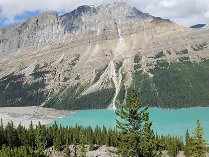
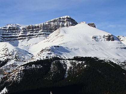
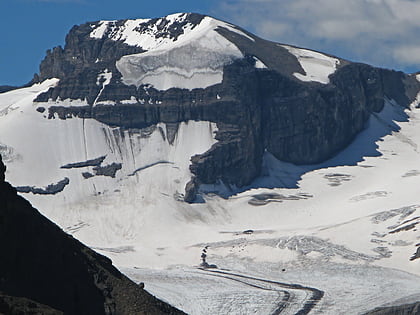
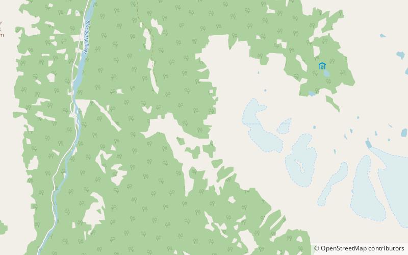
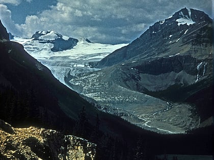
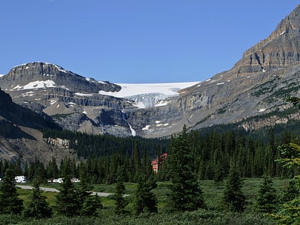
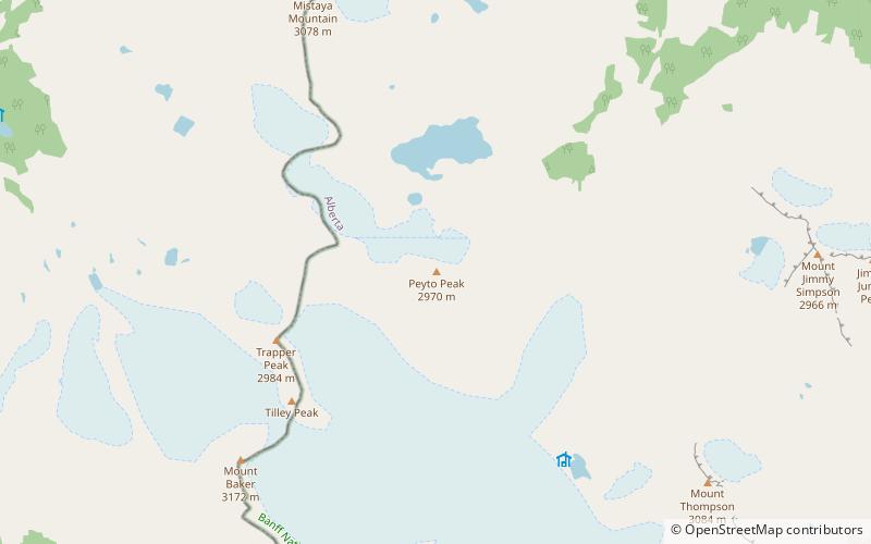
Peyto Peak is a mountain in the Waputik Range, part of the Canadian Rockies in Alberta, Canada. It lies at the north end of the Wapta Icefield, in Banff National Park, about one km east of the border with British Columbia and 32 km north of the town of Field. Five kilometres to the northeast lies Bow Pass, one of the high points of the Icefields Parkway. Between the peak and the pass lies picturesque Peyto Lake. Three kilometres southwest of Peyto Peak is Mount Baker, the highest point in the immediate vicinity. ()
First ascent: 1933Elevation: 9777 ftProminence: 722 ftCoordinates: 51°41'3"N, 116°33'58"W
Address
Banff National Park
ContactAdd
Social media
Add
Day trips
Peyto Peak – popular in the area (distance from the attraction)
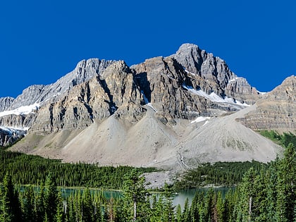
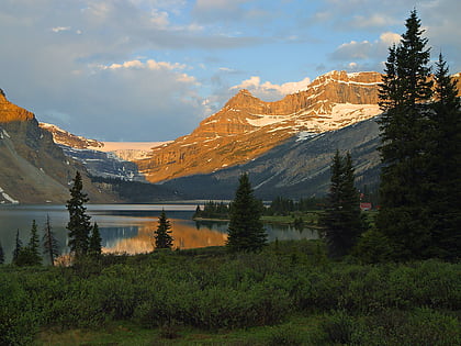
Nearby attractions include: Peyto Lake, Bow Lake, Bow Glacier Falls, Mount Jimmy Simpson.

