Great Divide Trail
Map
Facts and practical information
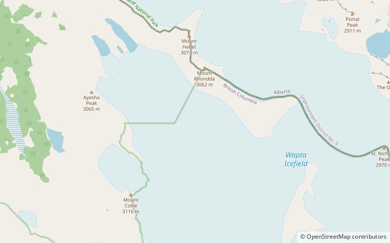
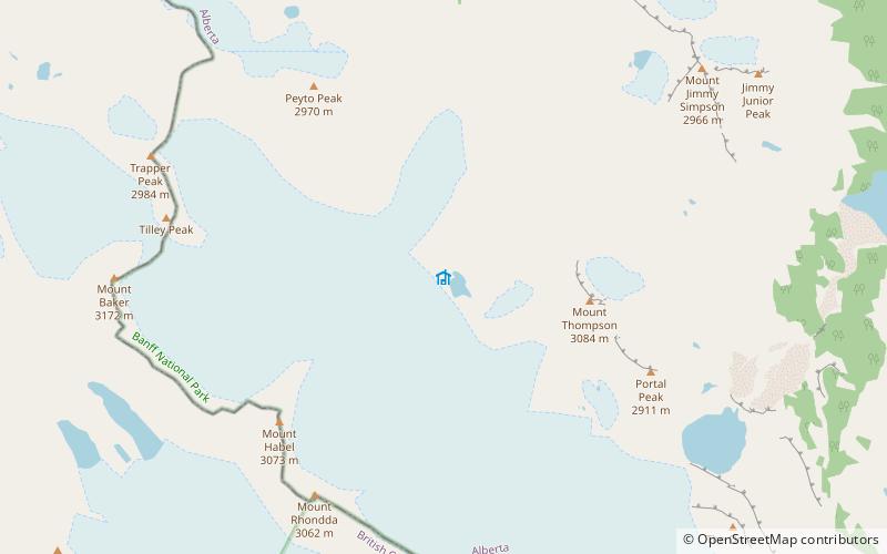
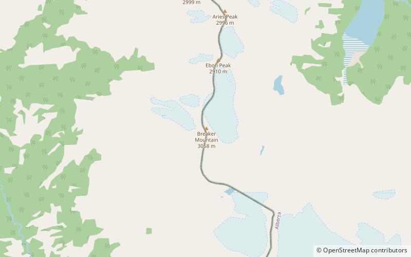
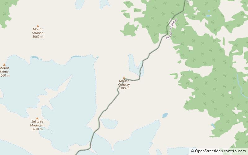
The Great Divide Trail is a wilderness hiking trail in the Canadian Rockies. The trail closely follows the Great Divide between Alberta and British Columbia, crossing the divide more than 30 times. Its southern terminus is in Waterton Lakes National Park at the Canada–US border and its northern terminus is at Kakwa Lake in Kakwa Provincial Park, north of Jasper National Park. The trail is 1,130 km long and ranges in elevation from 1,055 m at Old Fort Point trailhead near Jasper to 2,590 m at an unnamed pass above Michele Lakes just south of the White Goat Wilderness Area. ()
Length: 702.15 miMaximum elevation: 8497 ftMinimal elevation: 3461 ftCoordinates: 51°41'12"N, 116°40'30"W
Location
British Columbia
ContactAdd
Social media
Add
Day trips