Turcot Interchange, Montreal
Map
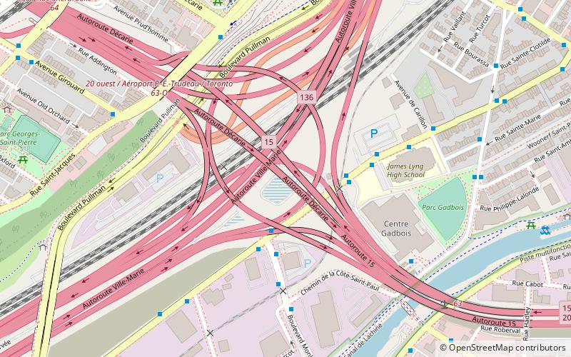
Map

Facts and practical information
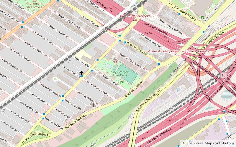
The Turcot Interchange is a three-level four-way freeway interchange within the city of Montreal, Quebec, Canada. Located southwest of downtown, the interchange links Autoroutes 15 and 20, and Route 136, and provides access to the Champlain Bridge via the Décarie South Expressway. It takes its name from the nearby Philippe-Turcot Street and Turcot village, which were in turn named after Philippe Turcot who was a merchant owning land in Saint-Henri. ()
Coordinates: 45°28'4"N, 73°35'58"W
Address
Le Sud-QuestMontreal
ContactAdd
Social media
Add
Day trips
Turcot Interchange – popular in the area (distance from the attraction)
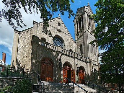
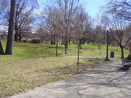
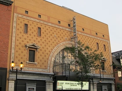
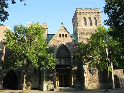
Nearby attractions include: Church of Saint-Léon-de-Westmount, Westmount Park, Lachine Canal, Théâtre Corona.
Frequently Asked Questions (FAQ)
Which popular attractions are close to Turcot Interchange?
Nearby attractions include Saint-Henri, Montreal (2 min walk), Turcot, Montreal (3 min walk), Côte-Saint-Paul, Montreal (10 min walk), Oxford Park, Montreal (11 min walk).
How to get to Turcot Interchange by public transport?
The nearest stations to Turcot Interchange:
Bus
Train
Metro
Bus
- Complexe récréatif Gadbois • Lines: 191-E (3 min walk)
- Notre-Dame / Monk • Lines: 191-E, 191-O (3 min walk)
Train
- Vendôme (12 min walk)
Metro
- Vendôme • Lines: 2 (12 min walk)
- Place Saint-Henri • Lines: 2 (23 min walk)

 Metro
Metro