Lachine Canal, Montreal
Map
Gallery
Facts and practical information
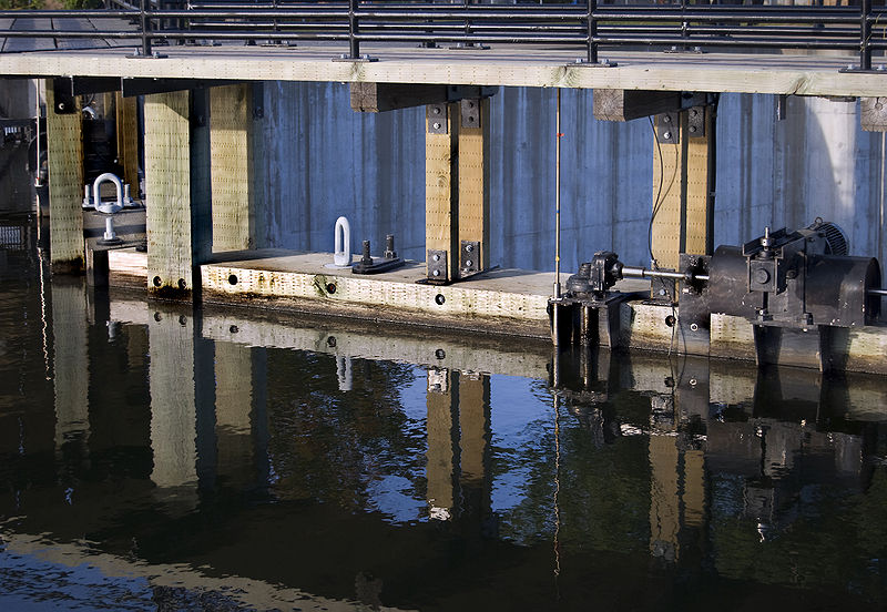
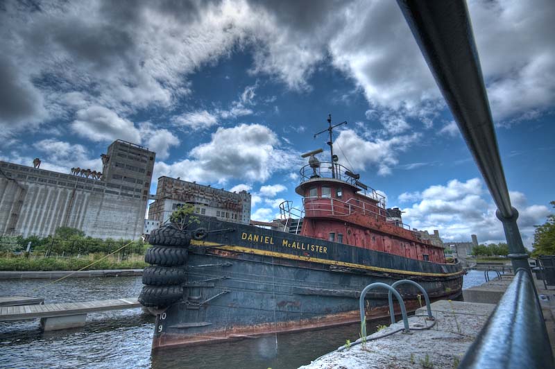
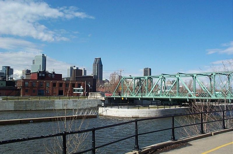
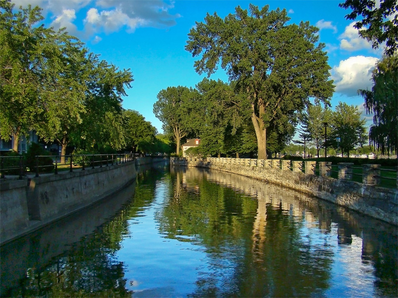
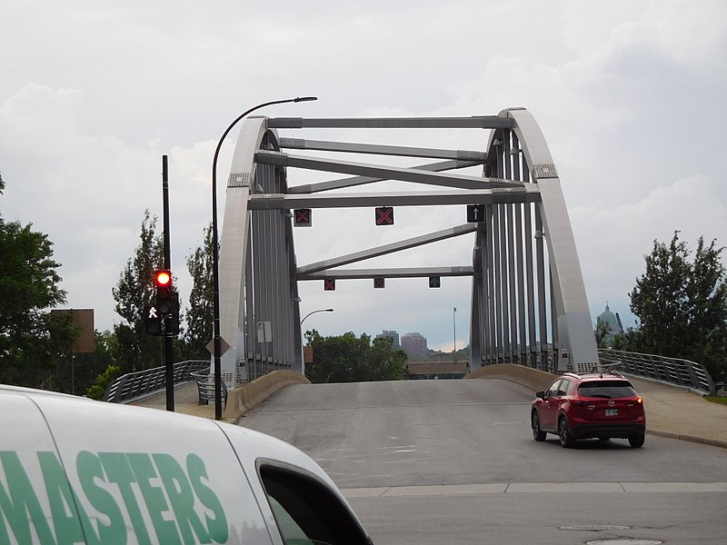
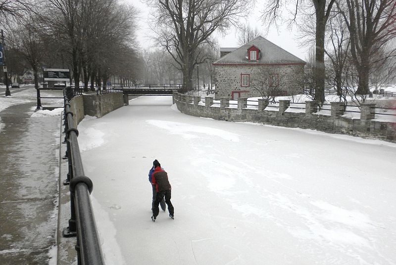
The Lachine Canal is a canal passing through the southwestern part of the Island of Montreal, Quebec, Canada, running 14.5 kilometres from the Old Port of Montreal to Lake Saint-Louis, through the boroughs of Lachine, Lasalle and Sud-Ouest. ()
Day trips
Lachine Canal – popular in the area (distance from the attraction)
Nearby attractions include: Carrefour Angrignon, Oxford Park, Sir George-Étienne Cartier Square, Parc Saint-Henri.
Frequently Asked Questions (FAQ)
Which popular attractions are close to Lachine Canal?
Nearby attractions include Saint-Henri, Montreal (10 min walk), Côte-Saint-Paul, Montreal (10 min walk), Turcot Interchange, Montreal (11 min walk), Oxford Park, Montreal (12 min walk).
How to get to Lachine Canal by public transport?
The nearest stations to Lachine Canal:
Bus
Train
Metro
Bus
- Notre-Dame / Place Turcot Est • Lines: 191-E, 191-O (5 min walk)
- Monk / Philippe-Turcot • Lines: 36-E, 37-N (8 min walk)
Train
- Vendôme (20 min walk)
Metro
- Vendôme • Lines: 2 (20 min walk)
- Monk • Lines: 1 (25 min walk)



 Metro
Metro
