CityPlace, Toronto

Gallery (11)
Map

Map

Gallery
Facts and practical information
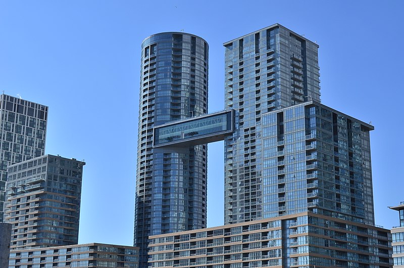
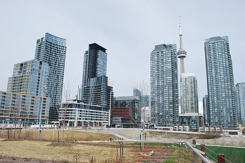
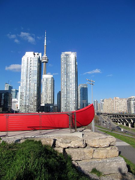
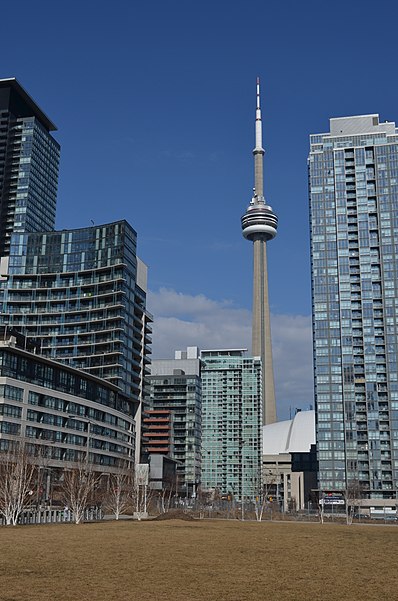
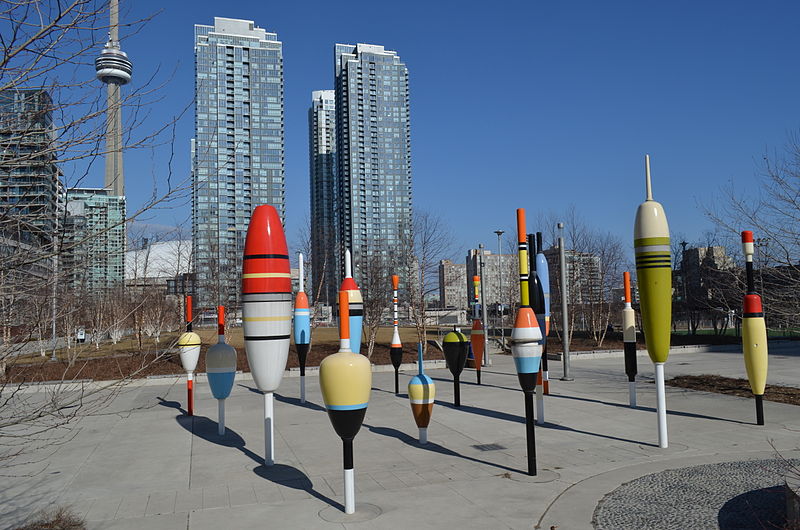
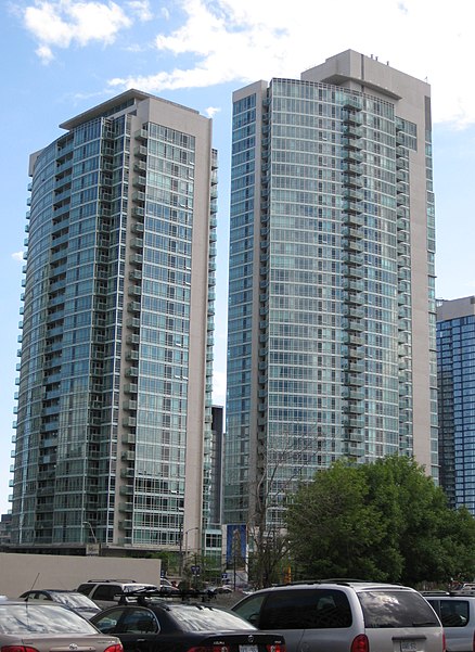
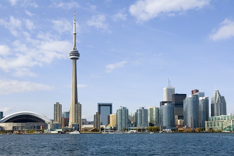
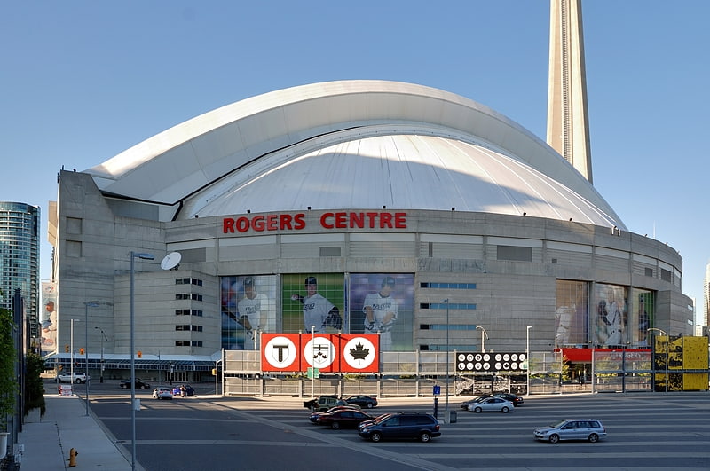
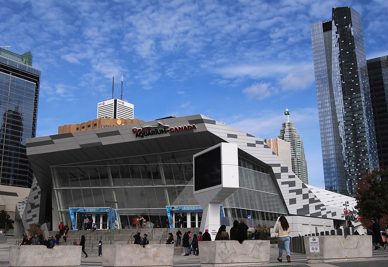
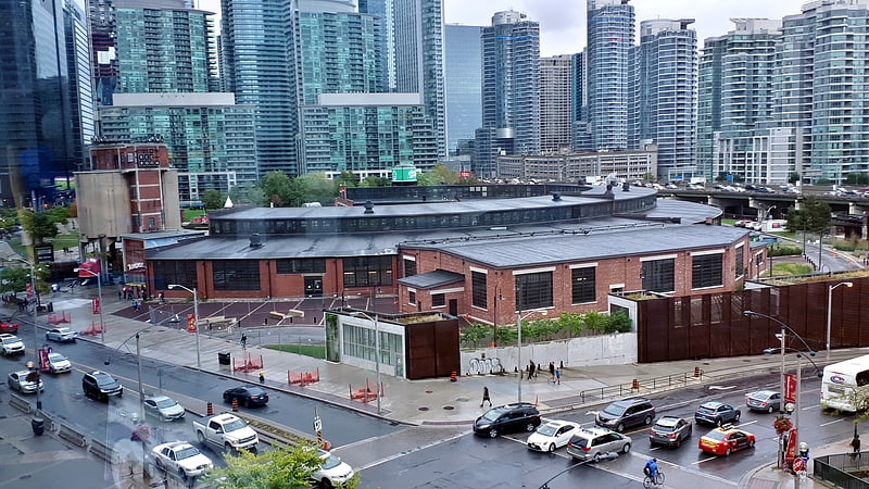
CityPlace is a neighbourhood in Downtown Toronto, Ontario, Canada, within the former Railway Lands. When completed, this area will be the largest residential development ever created in Toronto. The area is bordered by Bathurst Street to the west, Lake Shore Boulevard to the south, and Front Street to the north and Blue Jays Way and Rogers Centre to the east. Cityplace is also a 5- to 10-minute walk from King Street West and Liberty Village and a 10- to 20-minute walk from Toronto's financial district. The neighbourhood is also home to the Canoe Landing Park designed by famed Canadian writer and artist Douglas Coupland. ()
Coordinates: 43°38'21"N, 79°23'47"W
Address
Downtown Toronto (Entertainment District)Toronto
ContactAdd
Social media
Add
Getting there by public transportation
Public transportation stops near this location
- Metro
- Bus
- Tram
- Train
- Ferry
 Metro
Metro
- Calculate routeDan Leckie Way 5 min walk
- Calculate routeBremner Boulevard 6 min walk
- Calculate routeFort York Boulevard 6 min walk
- Calculate routeSpadina Avenue 6 min walk
- Calculate routeBathurst Street Terminal 10 min walk
- Calculate routeBilly Bishop Terminal 12 min walk
- Calculate routeHanlan's Point 22 min walk
- Calculate routeJack Layton Ferry Terminal 28 min walk
- Calculate routeFleet Street 16 min walk
- Calculate routeCanniff Street 21 min walk
- Calculate routeKing Street West 24 min walk
- Calculate routeShaw Street 25 min walk
- Calculate routeSt. Andrew 22 min walk
- Calculate routeUnion 24 min walk
- Calculate routeOsgoode 24 min walk
- Calculate routeKing 30 min walk
- Calculate routeToronto Union Station 23 min walk
- Calculate routeExhibition 30 min walk
Maps SubwayMaps
 Streetcar systemMaps
 PATH
PATH
SubwayMapsStreetcar systemMapsPATHDay trips


Frequently Asked Questions (FAQ)
Which popular attractions are close to CityPlace?
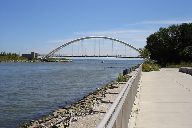
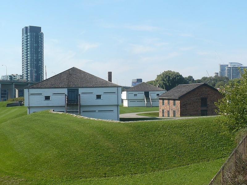
Nearby attractions include Canoe Landing Park, Toronto (1 min walk), Fort York, Toronto (6 min walk), Draper Street, Toronto (6 min walk), Sir Isaac Brock Bridge, Toronto (6 min walk).
How to get to CityPlace by public transport?
The nearest stations to CityPlace:
Tram
Ferry
Bus
Metro
Train
Tram
- Dan Leckie Way • Lines: 509 (5 min walk)
- Bremner Boulevard • Lines: 510A, 510B (6 min walk)
Ferry
- Bathurst Street Terminal • Lines: Billy Bishop Airport Ferry (10 min walk)
- Billy Bishop Terminal • Lines: Billy Bishop Airport Ferry (12 min walk)
Bus
- Fleet Street • Lines: 363 (16 min walk)
- Canniff Street • Lines: 363, 63 (21 min walk)
Metro
- St. Andrew • Lines: 1 (22 min walk)
- Union • Lines: 1 (24 min walk)
Train
- Toronto Union Station (23 min walk)
- Exhibition (30 min walk)