The Bentway, Toronto
Map
Facts and practical information
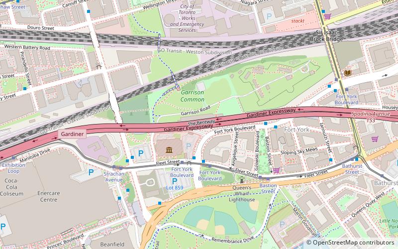
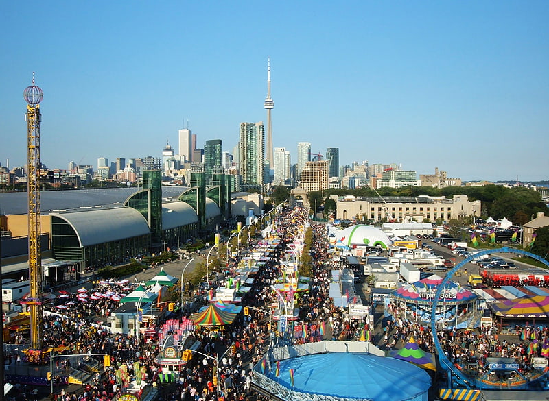
The Bentway, formerly Project: Under Gardiner, is a public trail and corridor space underneath the Gardiner Expressway in Toronto, Ontario, Canada. It is repurposed land that was in sections vacant, rail lines, parking lots and outdoor storage. ()
Elevation: 262 ft a.s.l.Coordinates: 43°38'15"N, 79°24'24"W
Address
West End (Fort York)Toronto
ContactAdd
Social media
Add
Getting there by public transportation
Public transportation stops near this location
- Metro
- Bus
- Tram
- Train
- Ferry
 Metro
Metro
- Calculate routeFort York Boulevard 3 min walk
- Calculate routeBastion Street 5 min walk
- Calculate routeStrachan Avenue 5 min walk
- Calculate routeFleet Street 3 min walk
- Calculate routeCanniff Street 10 min walk
- Calculate routeKing Street West 13 min walk
- Calculate routeShaw Street 13 min walk
- Calculate routeBathurst Street Terminal 14 min walk
- Calculate routeBilly Bishop Terminal 17 min walk
- Calculate routeHanlan's Point 29 min walk
- Calculate routeExhibition 16 min walk
- Calculate routeSt. Andrew 34 min walk
- Calculate routeOsgoode 35 min walk
Maps SubwayMaps
 Streetcar systemMaps
 PATH
PATH
SubwayMapsStreetcar systemMapsPATHDay trips


Frequently Asked Questions (FAQ)
Which popular attractions are close to The Bentway?
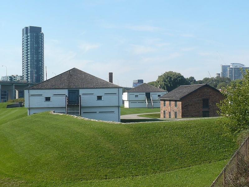
Nearby attractions include The Royal Regiment of Canada, Toronto (3 min walk), Fort York Armoury, Toronto (3 min walk), Garrison crossing, Toronto (3 min walk), Queen's Wharf Lighthouse, Toronto (4 min walk).
How to get to The Bentway by public transport?
The nearest stations to The Bentway:
Tram
Bus
Ferry
Train
Metro
Tram
- Fort York Boulevard • Lines: 509, 511 (3 min walk)
- Bastion Street • Lines: 509, 511 (5 min walk)
Bus
- Fleet Street • Lines: 363 (3 min walk)
- Canniff Street • Lines: 363, 63 (10 min walk)
Ferry
- Bathurst Street Terminal • Lines: Billy Bishop Airport Ferry (14 min walk)
- Billy Bishop Terminal • Lines: Billy Bishop Airport Ferry (17 min walk)
Train
- Exhibition (16 min walk)
Metro
- St. Andrew • Lines: 1 (34 min walk)
- Osgoode • Lines: 1 (35 min walk)