Scotia Plaza, Toronto
Map
Gallery
Facts and practical information
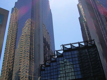
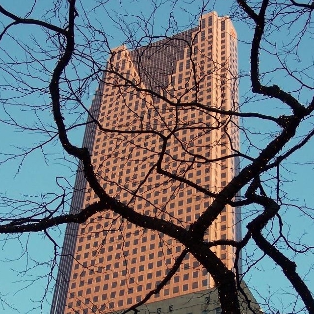
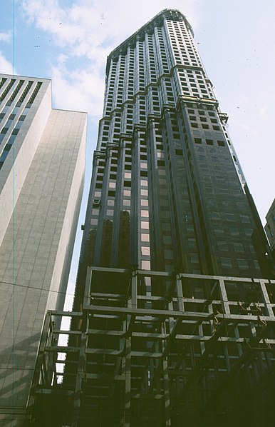
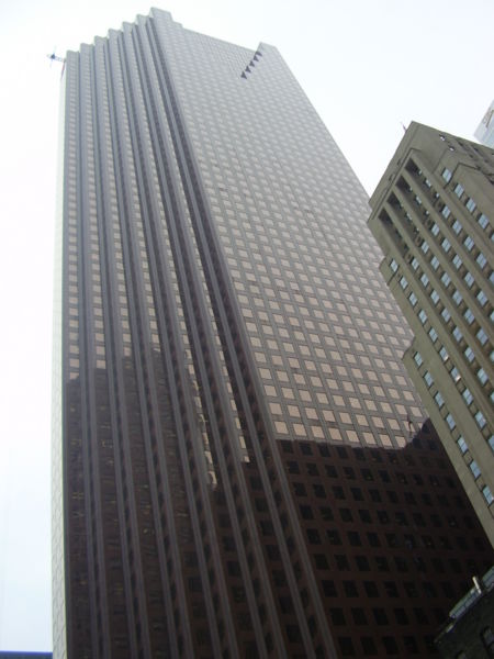
Scotia Plaza is a commercial skyscraper in the city of Toronto, Ontario, Canada. It is in the financial district of the downtown core bordered by Yonge Street on the east, King Street West on the south, Bay Street on the west, and Adelaide Street West on the north. At 275 m, Scotia Plaza is Canada's third tallest skyscraper and the 22nd tallest building in North America. It is connected to the PATH network, and contains 190,000 m2 of office space on 68 floors and 40 retail stores. ()
Alternative names: Completed: 1988 (38 years ago)Architectural style: PostmodernismFloors: 68Coordinates: 43°38'57"N, 79°22'46"W
Address
40 Kings St WDowntown Toronto (Bay Street Corridor)Toronto
ContactAdd
Social media
Add
Day trips
Scotia Plaza – popular in the area (distance from the attraction)
Nearby attractions include: Hockey Hall of Fame, First Canadian Place, IIHF Hall of Fame, Old City Hall.
Frequently Asked Questions (FAQ)
Which popular attractions are close to Scotia Plaza?
Nearby attractions include Financial District, Toronto (2 min walk), One King West, Toronto (2 min walk), Royal Bank Building, Toronto (3 min walk), Bay Adelaide Centre, Toronto (3 min walk).
How to get to Scotia Plaza by public transport?
The nearest stations to Scotia Plaza:
Tram
Bus
Metro
Train
Ferry
Tram
- Bay Street • Lines: 503, 504A, 504B (4 min walk)
- Yonge Street, King Station • Lines: 503, 504A, 504B (2 min walk)
Bus
- King Street West • Lines: 19 (2 min walk)
- Adelaide Street West • Lines: 19 (3 min walk)
Metro
- King • Lines: 1 (3 min walk)
- Union • Lines: 1 (7 min walk)
Train
- Toronto Union Station (9 min walk)
Ferry
- Jack Layton Ferry Terminal • Lines: Toronto Island Ferry, Ward's Island (17 min walk)
- Bathurst Street Terminal • Lines: Billy Bishop Airport Ferry (36 min walk)



 Subway
 Streetcar system
 PATH
PATH


