Playter Estates, Toronto

Gallery (1)
Map
Map
Facts and practical information
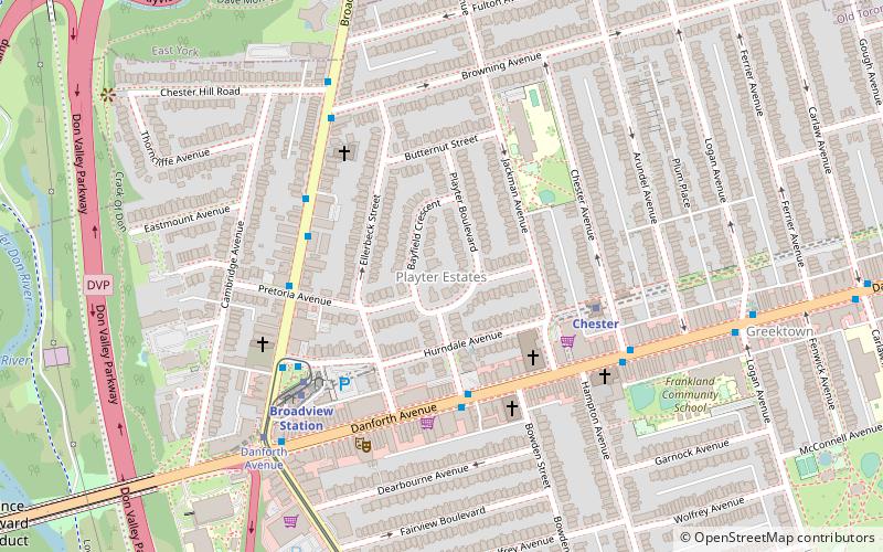
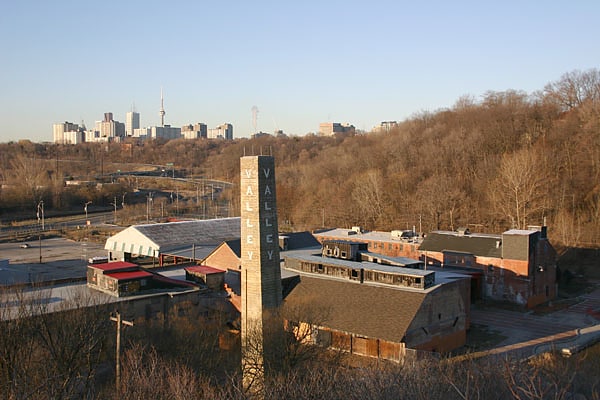
Playter Estates is an area in the east end of Toronto, Ontario, Canada bounded by Jackman Avenue to the east, the Don River Valley to the west, Danforth Avenue in the south, and Fulton Avenue in the north. The neighbourhood is built on land once owned by the Playter family for whom two streets in the area are named. The old farmhouse of the Playter household at 28 Playter Crescent is now the Playter Mansion, which is often used for various films, television shows, and commercials. ()
Coordinates: 43°40'43"N, 79°21'20"W
Address
28 Playter CrescentEast End (Playter Estates)Toronto
ContactAdd
Social media
Add
Getting there by public transportation
Public transportation stops near this location
- Metro
- Bus
- Tram
 Metro
Metro
- Calculate route849 Broadview Avenue 4 min walk
- Calculate routePretoria Avenue 4 min walk
- Calculate route876 Broadview Avenue 4 min walk
- Calculate routeBroadview Station 5 min walk
- Calculate routeChester 4 min walk
- Calculate routeBroadview 6 min walk
- Calculate routePape 14 min walk
- Calculate routeCastle Frank 20 min walk
- Calculate routeBroadview Station 5 min walk
- Calculate routeDanforth Avenue 6 min walk
- Calculate routeWolfrey Avenue 8 min walk
- Calculate routeMillbrook Crescent 12 min walk
Maps SubwayMaps
 Streetcar systemMaps
 PATH
PATH
SubwayMapsStreetcar systemMapsPATHDay trips


Frequently Asked Questions (FAQ)
Which popular attractions are close to Playter Estates?
Nearby attractions include The Danforth Music Hall, Toronto (5 min walk), Greektown, Toronto (11 min walk), Prince Edward Viaduct, Toronto (13 min walk), Church of the Holy Name, Toronto (13 min walk).
How to get to Playter Estates by public transport?
The nearest stations to Playter Estates:
Bus
Metro
Tram
Bus
- 849 Broadview Avenue • Lines: 62 (4 min walk)
- Pretoria Avenue • Lines: 62 (4 min walk)
Metro
- Chester • Lines: 2 (4 min walk)
- Broadview • Lines: 2 (6 min walk)
Tram
- Broadview Station • Lines: 504B, 505 (5 min walk)
- Danforth Avenue • Lines: 504B, 505 (6 min walk)