Sherbourne Blockhouse, Toronto
Map
Facts and practical information
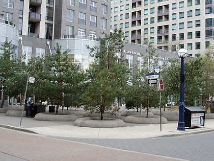
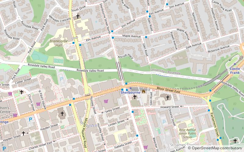
Following the Upper Canada Rebellion of 1837 Lieutenant Governor of Upper Canada Sir George Arthur directed the construction of a Sherbourne Blockhouse, and a ring of six other blockhouses -- to guard the approaches to Toronto in case there was another rebellion. The Sherbourne Blockhouse was located at the northern end of Sherbourne Street, at the current intersection with Bloor, just south of the Rosedale Ravine. ()
Coordinates: 43°40'22"N, 79°22'37"W
Day trips
Sherbourne Blockhouse – popular in the area (distance from the attraction)
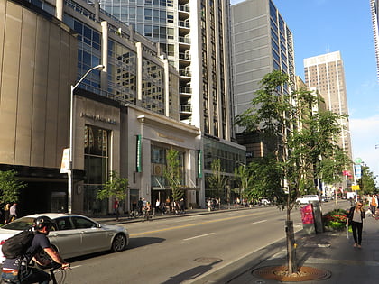
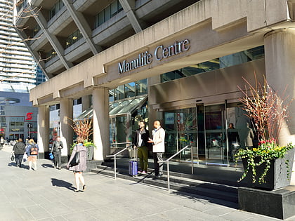
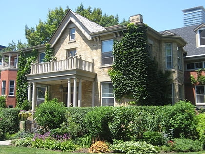
Nearby attractions include: Mink Mile, Maple Leaf Gardens, Manulife Centre, Paul Kane House.
Frequently Asked Questions (FAQ)
Which popular attractions are close to Sherbourne Blockhouse?
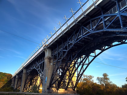
Nearby attractions include Trinity Evangelical Lutheran Church, Toronto (3 min walk), Rosedale, Toronto (7 min walk), St. Paul's, Toronto (7 min walk), Rosedale Valley Bridge, Toronto (9 min walk).
How to get to Sherbourne Blockhouse by public transport?
The nearest stations to Sherbourne Blockhouse:
Bus
Metro
Tram
Bus
- Bloor Street East • Lines: 75 (2 min walk)
- Maple Avenue • Lines: 75 (4 min walk)
Metro
- Sherbourne • Lines: 2 (2 min walk)
- Castle Frank • Lines: 2 (11 min walk)
Tram
- Sherbourne Street • Lines: 306, 506 (18 min walk)
- Ontario Street • Lines: 306, 506 (19 min walk)
 Subway
 Streetcar system
 PATH
PATH