Pelmo Park-Humberlea, Toronto
Map
Facts and practical information
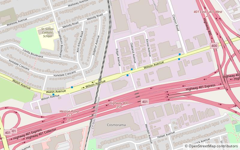
Pelmo Park-Humberlea is a neighbourhood in Toronto, Ontario, Canada. It is located north-west of the central core, in the former suburb of North York. Many of the neighbourhoods in this quadrant of the city can aptly be described as family neighbourhoods with access to parks, green space and a slower pace than found closer to downtown. ()
Coordinates: 43°43'0"N, 79°31'40"W
Address
North York (Humberlea)Toronto
ContactAdd
Social media
Add
Getting there by public transportation
Public transportation stops near this location
- Bus
- Train
 Bus
Bus
- Calculate routeWendell Avenue 2 min walk
- Calculate routeWalsh Avenue 5 min walk
- Calculate routeClayson Road 6 min walk
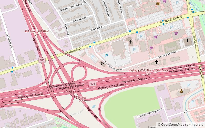
- Calculate routeWeston 35 min walk
Maps SubwayMaps
 Streetcar systemMaps
 PATH
PATH
SubwayMapsStreetcar systemMapsPATHDay trips


Frequently Asked Questions (FAQ)
Which popular attractions are close to Pelmo Park-Humberlea?
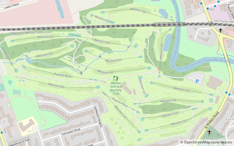
Nearby attractions include Toronto and Region Islamic Congregation, Toronto (16 min walk), Pine Point Park, Toronto (16 min walk).
How to get to Pelmo Park-Humberlea by public transport?
The nearest stations to Pelmo Park-Humberlea:
Bus
Train
Bus
- Wendell Avenue • Lines: 165, 96B (2 min walk)
- Walsh Avenue • Lines: 165, 96B (5 min walk)
Train
- Weston (35 min walk)