Metro Hall, Toronto
Map
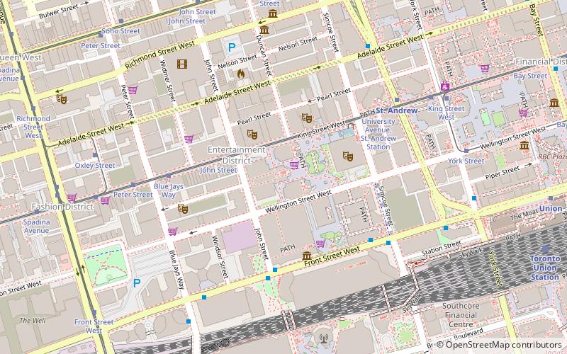
Map

Facts and practical information
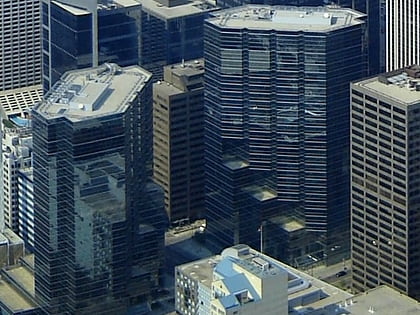
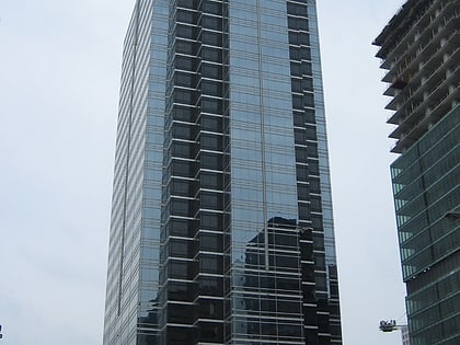
Metro Hall is a 27-storey Postmodern-style office tower at the corner of Wellington and John Street in the downtown core of Toronto, Ontario, Canada. It looks out onto Pecaut Square. Part of the three-tower Metro Centre complex, the building was completed in 1992 to house the Municipality of Metropolitan Toronto and its employees. The building is now used by the City of Toronto following municipal consolidation in 1998. ()
Completed: 1992 (34 years ago)Architectural style: PostmodernismFloors: 27Coordinates: 43°38'46"N, 79°23'18"W
Day trips
Metro Hall – popular in the area (distance from the attraction)
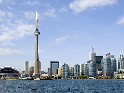
Nearby attractions include: CN Tower, Ripley's Aquarium of Canada, St. Patrick's Market, Sun Life Centre.
Frequently Asked Questions (FAQ)
Which popular attractions are close to Metro Hall?
Nearby attractions include David Pecaut Square, Toronto (2 min walk), Mirvish+Gehry, Toronto (3 min walk), Princess of Wales Theatre, Toronto (3 min walk), Canadian Broadcasting Centre, Toronto (3 min walk).
How to get to Metro Hall by public transport?
The nearest stations to Metro Hall:
Tram
Metro
Train
Bus
Ferry
Tram
- John Street • Lines: 504A, 504B (3 min walk)
- Blue Jays Way • Lines: 504A, 504B (5 min walk)
Metro
- St. Andrew • Lines: 1 (6 min walk)
- Osgoode • Lines: 1 (9 min walk)
Train
- Toronto Union Station (11 min walk)
Bus
- King Street West • Lines: 19 (12 min walk)
- Front Street West • Lines: 19 (12 min walk)
Ferry
- Jack Layton Ferry Terminal • Lines: Toronto Island Ferry, Ward's Island (20 min walk)
- Bathurst Street Terminal • Lines: Billy Bishop Airport Ferry (25 min walk)

 Subway
 Streetcar system
 PATH
PATH