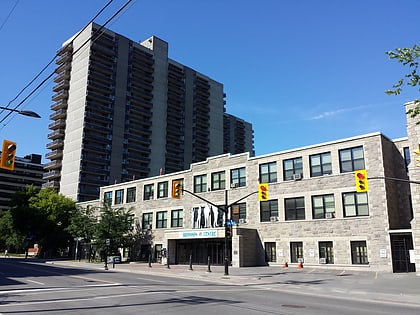
Bronson Centre, Ottawa
Map
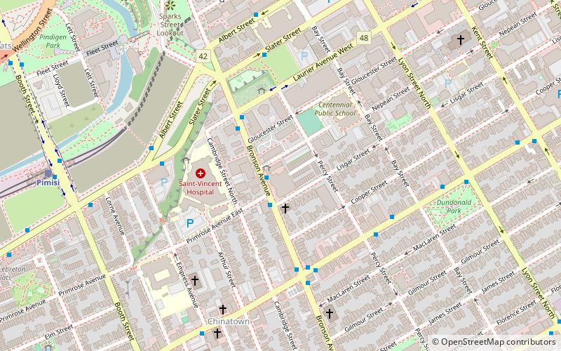
Map

Facts and practical information
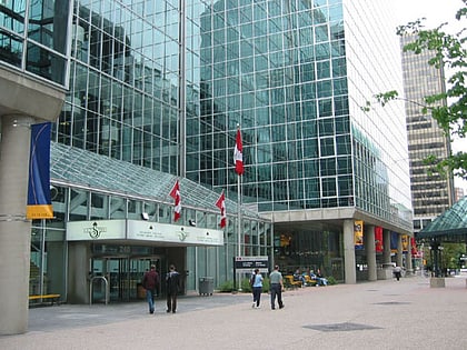
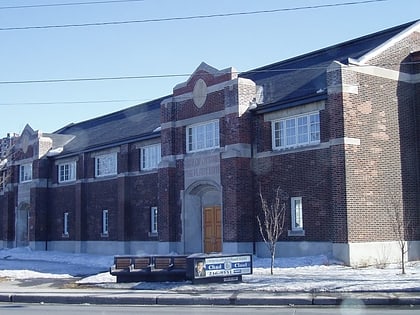
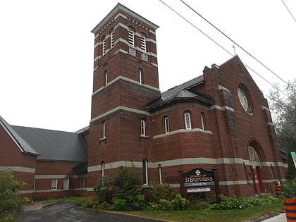
The Bronson Centre is a community facility in Ottawa, Ontario, Canada, which provides office and meeting facilities for non-profit organizations. It is located at 211 Bronson Avenue, on the western edge of the city's downtown core. ()
Coordinates: 45°24'49"N, 75°42'23"W
Day trips
Bronson Centre – popular in the area (distance from the attraction)
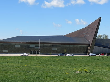
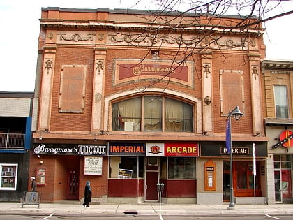
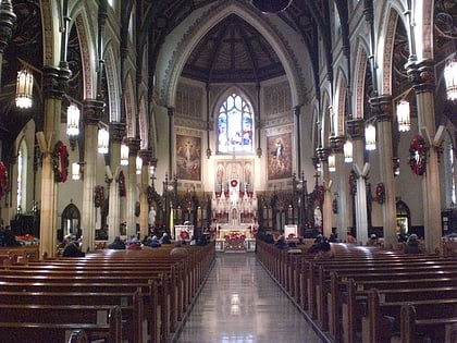
Nearby attractions include: Canadian War Museum, Barrymore's, St Patrick's Basilica, Christ Church Cathedral.
Frequently Asked Questions (FAQ)
Which popular attractions are close to Bronson Centre?
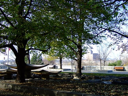
Nearby attractions include Nanny Goat Hill, Ottawa (5 min walk), Chinatown, Ottawa (6 min walk), Dominican University College, Ottawa (7 min walk), Dundonald Park, Ottawa (7 min walk).
How to get to Bronson Centre by public transport?
The nearest stations to Bronson Centre:
Bus
Light rail
Bus
- Bronson / Nepean • Lines: 10 (1 min walk)
- Somerset W / Bronson • Lines: 11 (4 min walk)
Light rail
- Pimisi O-Train East/Est • Lines: 1 (9 min walk)
- Lyon A • Lines: 1 (10 min walk)
