Canadian Stage Company, Toronto
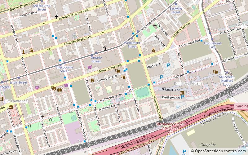
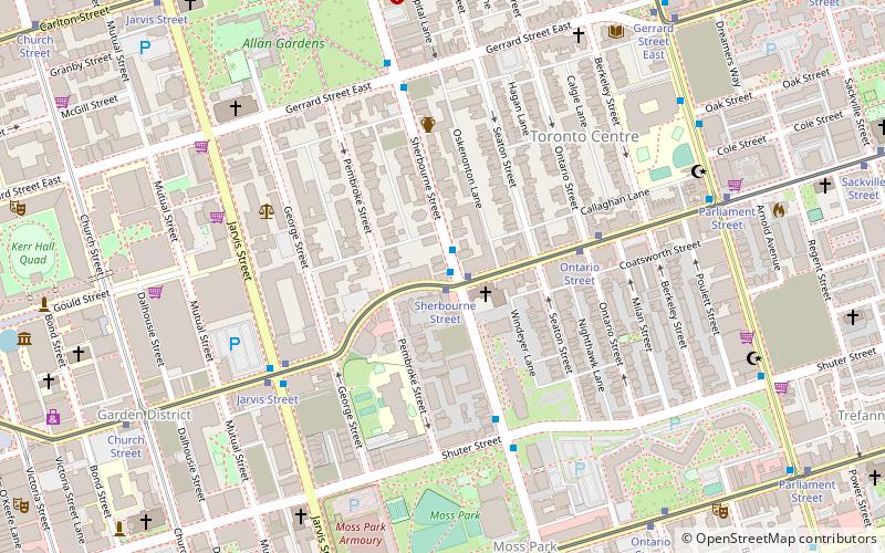
Map
Facts and practical information
Canadian Stage is a non-profit contemporary performance arts company based in Toronto, Ontario, Canada. ()
Coordinates: 43°39'2"N, 79°21'50"W
Getting there by public transportation
Public transportation stops near this location
- Metro
- Bus
- Tram
- Train
- Ferry
 Metro
Metro
- Calculate routeBerkeley Street 1 min walk
- Calculate routeFront Street East 1 min walk
- Calculate routeThe Esplanade 2 min walk
- Calculate routeOntario Street 4 min walk
- Calculate routeParliament Street 5 min walk
- Calculate routeKing 18 min walk
- Calculate routeQueen 21 min walk
- Calculate routeUnion 23 min walk
- Calculate routeDundas 25 min walk
- Calculate routeJack Layton Ferry Terminal 24 min walk
- Calculate routeToronto Union Station 24 min walk
Maps SubwayMaps
 Streetcar systemMaps
 PATH
PATH
SubwayMapsStreetcar systemMapsPATHDay trips


Frequently Asked Questions (FAQ)
Which popular attractions are close to Canadian Stage Company?
Nearby attractions include Parliament Square Park, Toronto (3 min walk), Enoch Turner School, Toronto (5 min walk), Little Trinity Anglican Church, Toronto (6 min walk), Trinity Square, Toronto (6 min walk).
How to get to Canadian Stage Company by public transport?
The nearest stations to Canadian Stage Company:
Bus
Tram
Metro
Ferry
Train
Bus
- Berkeley Street • Lines: 65 (1 min walk)
- Front Street East • Lines: 121, 65 (1 min walk)
Tram
- Ontario Street • Lines: 503, 504A, 504B (4 min walk)
- Parliament Street • Lines: 504A, 504B (5 min walk)
Metro
- King • Lines: 1 (18 min walk)
- Queen • Lines: 1 (21 min walk)
Ferry
- Jack Layton Ferry Terminal • Lines: Toronto Island Ferry, Ward's Island (24 min walk)
Train
- Toronto Union Station (24 min walk)