Sugar Beach, Toronto
Map
Gallery
Facts and practical information
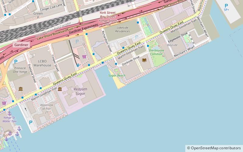
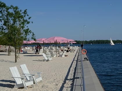
Sugar Beach is an urban beach park in Toronto, Ontario, Canada, that opened in 2010. It is located across from Redpath Sugar Refinery in Toronto's eastern East Bayfront. Like HTO Park to the west, the beach is not meant to allow wading or swimming in Lake Ontario, but rather functions as a waterfront public space for relaxation, leisure, and social activities. It cost $14 million. ()
Elevation: 243 ft a.s.l.Coordinates: 43°38'36"N, 79°22'2"W
Day trips
Sugar Beach – popular in the area (distance from the attraction)
Nearby attractions include: Rebel, Air Canada Centre, IIHF Hall of Fame, St. Lawrence Market.
Frequently Asked Questions (FAQ)
Which popular attractions are close to Sugar Beach?
Nearby attractions include Sherbourne Common, Toronto (4 min walk), East Bayfront, Toronto (5 min walk), Redpath Sugar Museum, Toronto (6 min walk), Bobbie Rosenfeld Park, Toronto (9 min walk).
How to get to Sugar Beach by public transport?
The nearest stations to Sugar Beach:
Bus
Ferry
Tram
Metro
Train
Bus
- Richardson Street • Lines: 19, 75 (3 min walk)
- Lower Jarvis Street • Lines: 19 (3 min walk)
Ferry
- Jack Layton Ferry Terminal • Lines: Toronto Island Ferry, Ward's Island (12 min walk)
- Ward's Island • Lines: Ward's Island (25 min walk)
Tram
- Queens Quay - Island Ferry Docks • Lines: 509, 510A (13 min walk)
- Jarvis Street • Lines: 503, 504A, 504B (15 min walk)
Metro
- King • Lines: 1 (17 min walk)
- Union • Lines: 1 (18 min walk)
Train
- Toronto Union Station (17 min walk)
 Subway
 Streetcar system
 PATH
PATH


