East Bayfront, Toronto

Gallery (5)
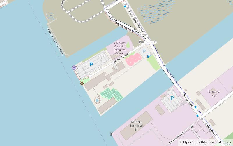
Map

Map

Gallery
Facts and practical information
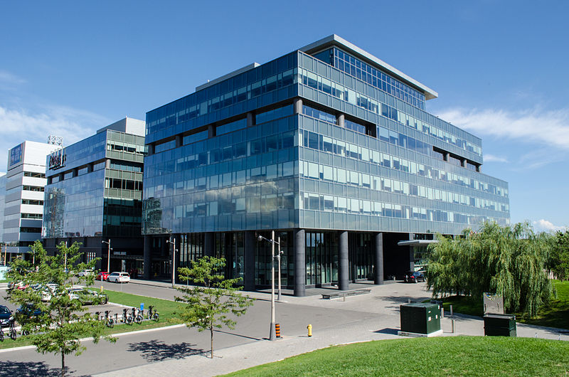
East Bayfront, or the East Bayfront Precinct, is an emerging neighbourhood in Toronto, Ontario, Canada. It is currently undergoing a transformation from industrial use to mixed-use as part of Waterfront Toronto's plans to create a residential and commercial district urban core near the lake. ()
Coordinates: 43°38'42"N, 79°21'53"W
Address
Downtown Toronto (East Bayfront)Toronto
ContactAdd
Social media
Add
Getting there by public transportation
Public transportation stops near this location
- Metro
- Bus
- Tram
- Train
- Ferry
 Metro
Metro
- Calculate routeLake Shore Boulevard East 3 min walk
- Calculate routeRichardson Street 4 min walk
- Calculate routeQueens Quay East 6 min walk
- Calculate routeLower Jarvis Street 6 min walk
- Calculate routeSherbourne Street 13 min walk
- Calculate routeOntario Street 13 min walk
- Calculate routeJack Layton Ferry Terminal 16 min walk
- Calculate routeWard's Island 26 min walk
- Calculate routeKing 19 min walk
- Calculate routeUnion 20 min walk
- Calculate routeQueen 24 min walk
- Calculate routeSt. Andrew 27 min walk
- Calculate routeToronto Union Station 21 min walk
Maps SubwayMaps
 Streetcar systemMaps
 PATH
PATH
SubwayMapsStreetcar systemMapsPATHDay trips


Frequently Asked Questions (FAQ)
Which popular attractions are close to East Bayfront?
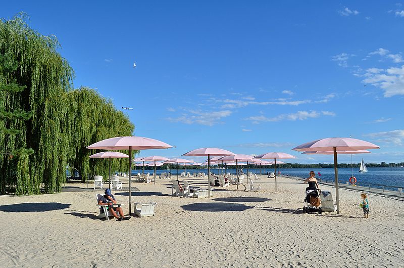
Nearby attractions include Sherbourne Common, Toronto (2 min walk), Sugar Beach, Toronto (5 min walk), Quayside, Toronto (5 min walk), David Crombie Park, Toronto (8 min walk).
How to get to East Bayfront by public transport?
The nearest stations to East Bayfront:
Bus
Tram
Ferry
Metro
Train
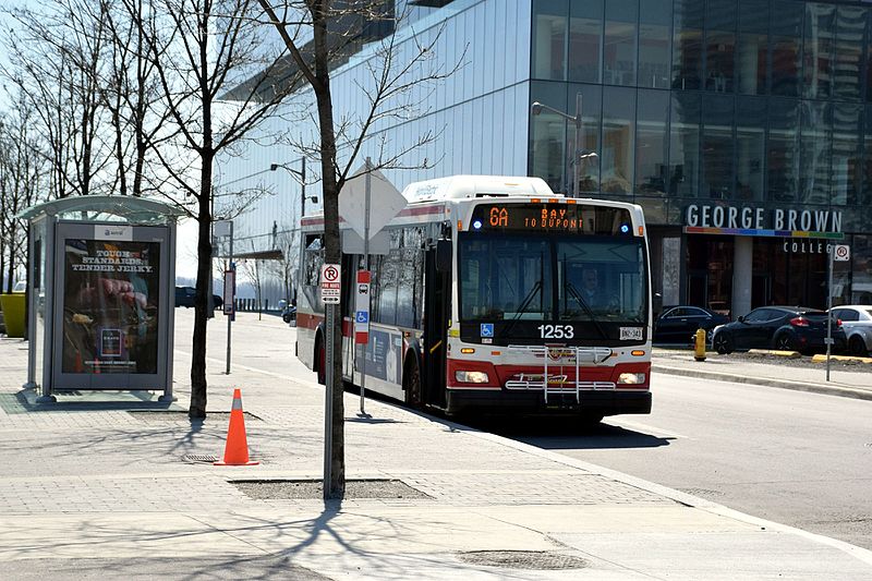
Bus
- Lake Shore Boulevard East • Lines: 75 (3 min walk)
- Richardson Street • Lines: 19, 75 (4 min walk)
Tram
- Sherbourne Street • Lines: 503, 504A, 504B (13 min walk)
- Ontario Street • Lines: 503, 504A, 504B (13 min walk)
Ferry
- Jack Layton Ferry Terminal • Lines: Toronto Island Ferry, Ward's Island (16 min walk)
- Ward's Island • Lines: Ward's Island (26 min walk)
Metro
- King • Lines: 1 (19 min walk)
- Union • Lines: 1 (20 min walk)
Train
- Toronto Union Station (21 min walk)