Edmonton Expo Centre, Edmonton
Map
Map

Facts and practical information
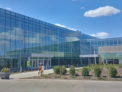
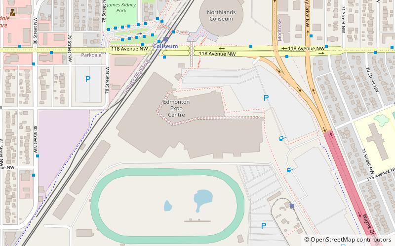
The Edmonton Expo Centre, formerly the Northlands AgriCom and also known as the Edmonton Exposition and Conference Centre is a multi-purpose convention centre in Edmonton, Alberta. Operated by Explore Edmonton on behalf of the City of Edmonton, it is located in Edmonton's Montrose neighbourhood, across the street from the Northlands Coliseum. ()
Coordinates: 53°34'7"N, 113°27'25"W
Day trips
Edmonton Expo Centre – popular in the area (distance from the attraction)
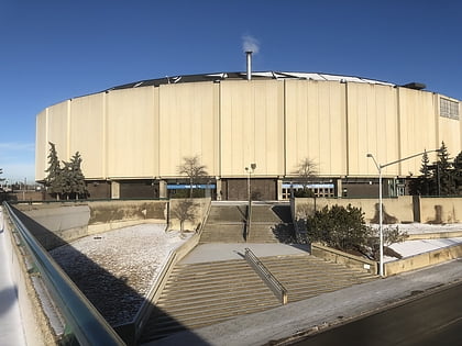
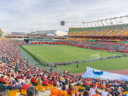
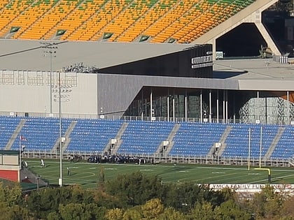
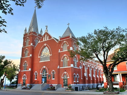
Nearby attractions include: Northlands Coliseum, Commonwealth Stadium, Clarke Stadium, Sacred Heart Church of the First Peoples.
Frequently Asked Questions (FAQ)
Which popular attractions are close to Edmonton Expo Centre?
Nearby attractions include Edmonton-Highlands-Norwood, Edmonton (5 min walk), Northlands Coliseum, Edmonton (6 min walk), Virginia Park, Edmonton (14 min walk), Eastwood, Edmonton (16 min walk).
How to get to Edmonton Expo Centre by public transport?
The nearest stations to Edmonton Expo Centre:
Light rail
Bus
Light rail
- Coliseum • Lines: 501 (4 min walk)
- Stadium • Lines: 501 (21 min walk)
Bus
- Coliseum Transit Centre • Lines: 2, 2-Owl, 5 (6 min walk)
- 80 Street & 118 Ave • Lines: 2, 5 (9 min walk)
