Edmonton/North, Edmonton
Map
Facts and practical information
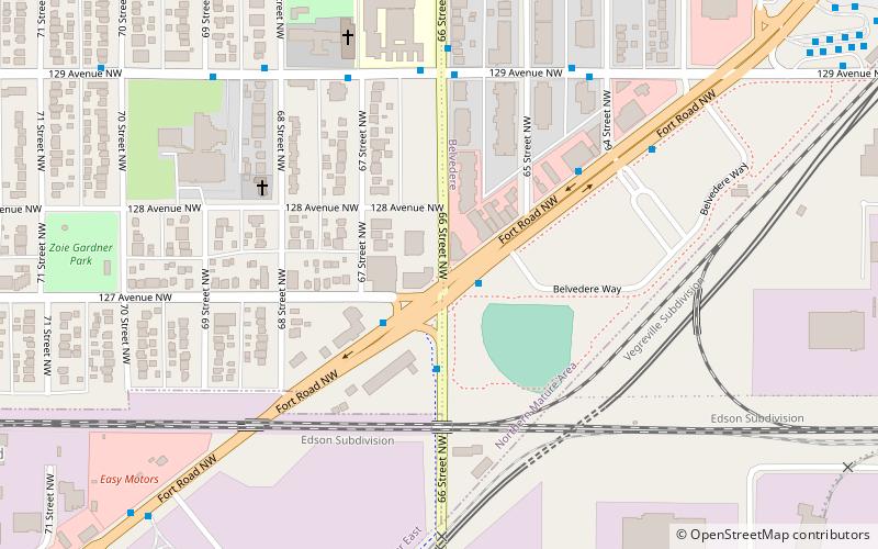
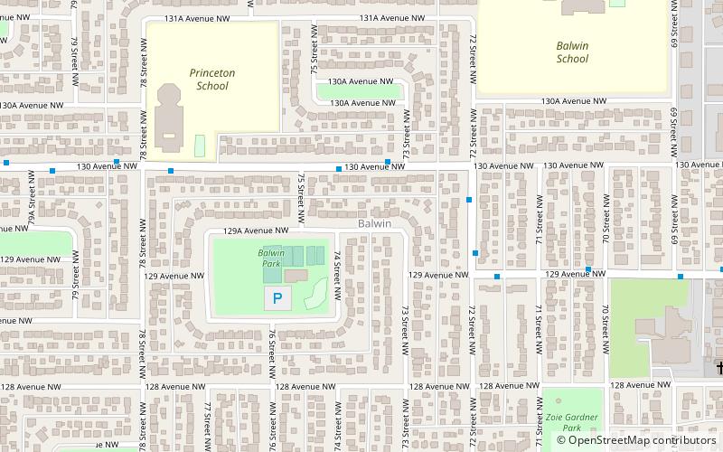
North Edmonton is a former village in Alberta, Canada that was absorbed by the City of Edmonton. The approximate geographic centre of the former village is the current intersection of Fort Road, 66 Street and 127 Avenue in northeast Edmonton. Its land is now occupied by the Edmonton neighbourhoods of Balwin, Belvedere, Industrial Heights, Kennedale Industrial and Yellowhead Corridor East. ()
Coordinates: 53°35'7"N, 113°26'35"W
Address
Northeast Edmonton (Balwin)Edmonton
ContactAdd
Social media
Add
Getting there by public transportation
Public transportation stops near this location
- Bus
- Light rail
 Bus
Bus
- Calculate route66 Street & Fort Road 2 min walk
- Calculate route54 Street & Fort Road 4 min walk
- Calculate routeFort Road & 125 Ave 8 min walk
- Calculate routeBelvedere Transit Centre 10 min walk
- Calculate routeBelvedere 12 min walk
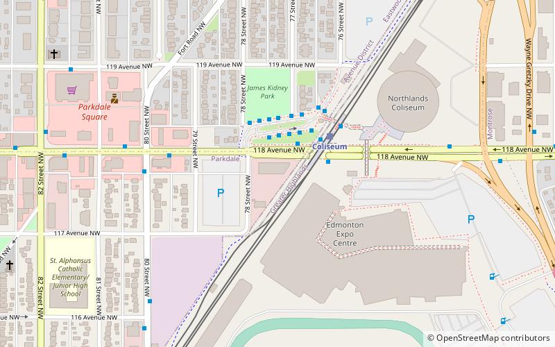
- Calculate routeColiseum 31 min walk
Day trips


Frequently Asked Questions (FAQ)
Which popular attractions are close to Edmonton/North?
Nearby attractions include Balwin, Edmonton (14 min walk), Belvedere, Edmonton (18 min walk), Montrose, Edmonton (20 min walk), Delwood, Edmonton (23 min walk).
How to get to Edmonton/North by public transport?
The nearest stations to Edmonton/North:
Bus
Light rail
Bus
- 66 Street & Fort Road • Lines: 2 (2 min walk)
- 54 Street & Fort Road • Lines: 2 (4 min walk)
Light rail
- Belvedere • Lines: 501 (12 min walk)
- Coliseum • Lines: 501 (31 min walk)