Capilano Bridge, Edmonton
Map
Map

Facts and practical information
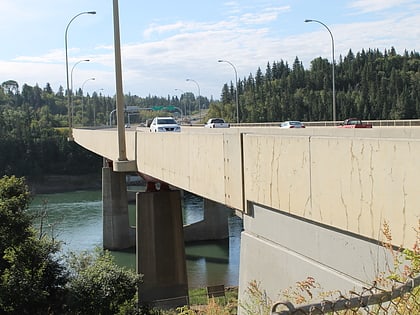
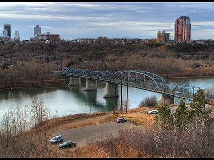
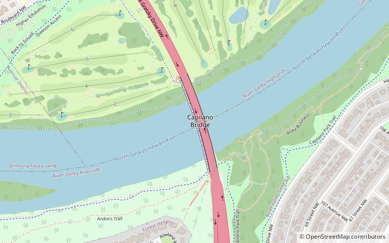
The Capilano Bridge is a six lane bridge that spans the North Saskatchewan River in Edmonton, Alberta, Canada. It was built in 1969, is named for the nearby Capilano neighbourhood, and is part of Wayne Gretzky Drive. ()
Opened: 1969 (57 years ago)Length: 951 ftCoordinates: 53°33'21"N, 113°26'20"W
Address
Northeast Edmonton (River Valley Highlands)Edmonton
ContactAdd
Social media
Add
Day trips
Capilano Bridge – popular in the area (distance from the attraction)
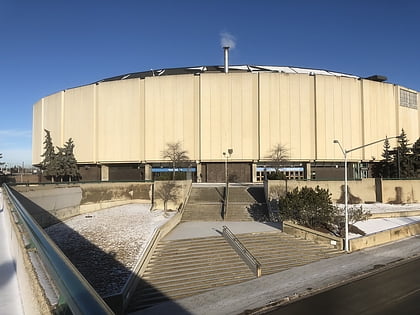
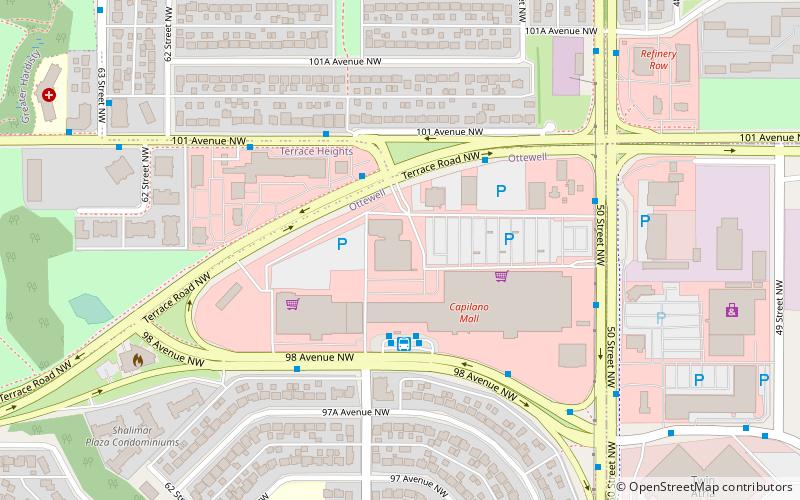
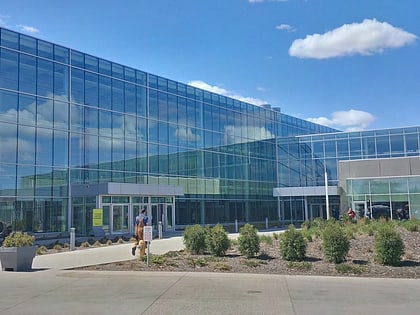
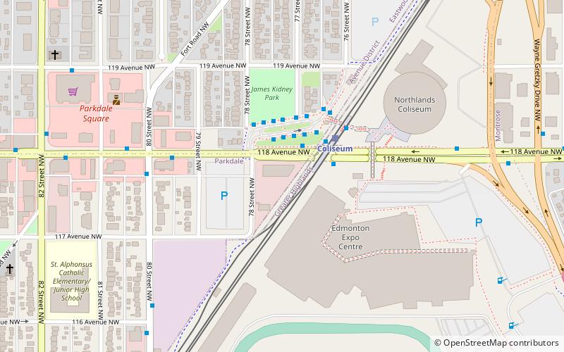
Nearby attractions include: Northlands Coliseum, Ottewell, Edmonton Expo Centre, Dawson Bridge.
Frequently Asked Questions (FAQ)
Which popular attractions are close to Capilano Bridge?
Nearby attractions include Capilano, Edmonton (16 min walk), Virginia Park, Edmonton (17 min walk), Highlands, Edmonton (22 min walk), Fulton Place, Edmonton (22 min walk).
How to get to Capilano Bridge by public transport?
The nearest stations to Capilano Bridge:
Bus
Light rail
Bus
- 75 Street & 106 Ave • Lines: 1 (13 min walk)
- 106 Ave & 67 Street • Lines: 1 (13 min walk)
Light rail
- Coliseum • Lines: 501 (34 min walk)
