Île aux Tourtes Bridge
Map

Map

Facts and practical information
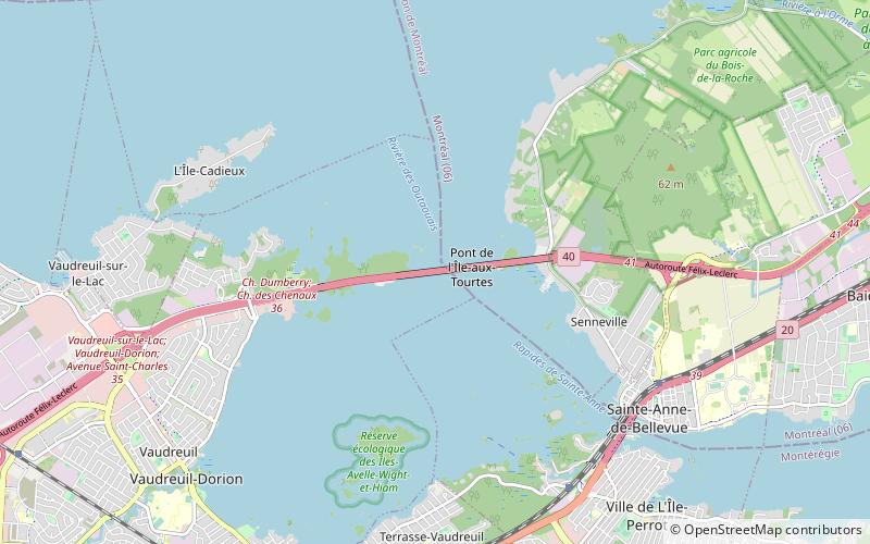
The Île aux Tourtes Bridge is a bridge on the western tip of the Island of Montreal, spanning the Lake of Two Mountains between Senneville, and Vaudreuil-Dorion, Quebec, Canada. It carries 6 lanes of Autoroute 40 and is the main link between Montreal and the province of Ontario. At 2 km in length, it is by far the longest bridge in Quebec to cross a body of water other than the Saint Lawrence. It is also commonly known by Montreal's English community as the Lake of Two Mountains bridge. ()
Opened: 1966 (60 years ago)Length: 6562 ftCoordinates: 45°25'12"N, 73°59'10"W
Location
Québec
ContactAdd
Social media
Add
Day trips
Île aux Tourtes Bridge – popular in the area (distance from the attraction)
Nearby attractions include: L'Anse-à-l'Orme Nature Park, Sainte-Anne-de-Bellevue Canal, Pont Galipeau, Cap-Saint-Jacques Nature Park.


